Columbus in Luna County, New Mexico — The American Mountains (Southwest)
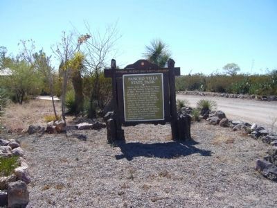
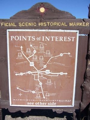
Pancho Villa State Park
Topics. This historical marker is listed in this topic list: Parks & Recreational Areas. A significant historical year for this entry is 1916.
Location. 31° 49.587′ N, 107° 38.44′ W. Marker is in Columbus, New Mexico, in Luna County. Marker is in Pancho Villa State Park on the eastern side near Highway 11. Touch for map. Marker is in this post office area: Columbus NM 88029, United States of America. Touch for directions.
Other nearby markers. At least 8 other markers are within walking distance of this marker. Last Hostile Action by Foreign Troops (within shouting distance of this marker); United States Custom House (about 600 feet away, measured in a direct line); In Memory of Citizens Killed / In Memory of Thirteenth Cavalry (about 600 feet away); a different marker also named Pancho Villa State Park (about 600 feet away); Pancho Villa’s Raid (about 600 feet away); Southern Pacific Railroad Depot (about 700 feet away); First Aero Squadron Airfield (approx. 0.2 miles away); Columbus (approx. half a mile away). Touch for a list and map of all markers in Columbus.
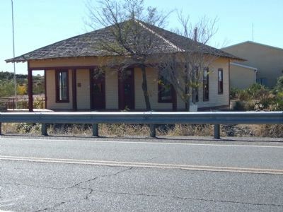
Regarding Pancho Villa State Park. Much speculation abounds concerning General Villa's motivation behind the Columbus raid. One theory suggests it was an act of retaliation. Embroiled in a civil war, Mexico searched for leadership. A dispute broke out between Pancho Villa and Venustiano Carranza when Villa refused to acknowledge the authority of the new president, Carranza. To add insult to injury, President Wilson aided Carranza by allowing Mexican troops to be transported on the El Paso- Southwestern Railroad through Texas and New Mexico to a campaign in Mexico. These additional troops helped defeat Villa and his army in the battle of Agua Prieta, across from Douglas, Arizona on November 1, 1915. Possibly the attack on Columbus occurred as retaliation for the shipment of troops, since the village had an El Paso - Southwestern depot. Amazingly enough however, the depot only sustained light damage from flying bullets.
Also see . . . A Collection of Photos of Pancho Villa. (Submitted on November 12, 2010.)
Additional keywords. Mexican Revolution - Pancho Villa
Credits. This page was last revised on January 6, 2020. It was originally submitted on November 10, 2010, by Bill Kirchner of Tucson, Arizona. This page has been viewed 1,015 times since then and 32 times this year. Photos: 1, 2, 3, 4. submitted on November 10, 2010, by Bill Kirchner of Tucson, Arizona. 5. submitted on November 13, 2010, by Bill Kirchner of Tucson, Arizona. • Syd Whittle was the editor who published this page.


