
Jasper Green/ Sergeant William Jasper
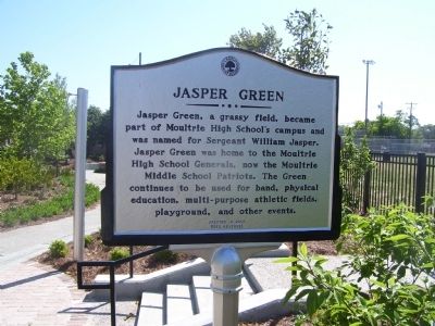
Jasper Green
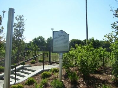
Jasper Green, a grassy field, became part of Moultrie High School’s campus and was named for Sergeant William Jasper. Jasper Green was home to the Moultrie High School Generals, now the Moultrie Middle School Patriots. The Green continues to be used for band, physical education, multi-purpose athletic fields, playground, and other events.
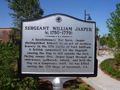
Sergeant William Jasper
(c. 1750-1779)
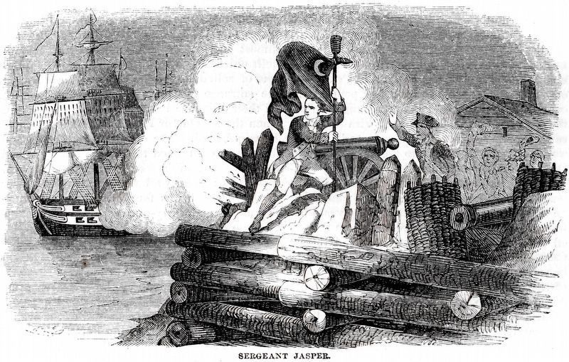
A Revolutionary War hero, Jasper distinguished himself by an act of reckless bravery in the 1776 Battle of Fort Sullivan. A British cannonball hit the flagstaff causing the flag to fall outside the fort. Facing enemy fire, Jasper leapt through an embrasure, gathered, raised, and held the flag on a temporary staff. He was killed during the 1779 Siege of Savannah, GA.
Erected by Town of Mount Pleasant.
Topics. This historical marker is listed in these topic lists: Education • Sports • War, US Revolutionary. A significant historical year for this entry is 1776.
Location. 32° 47.476′ N, 79° 52.347′ W. Marker is in Mount Pleasant, South Carolina, in Charleston County. It can be reached from Coleman Blvd.. Touch for map.
this page online

Regionally, this marker is in the Lowcountry. It is also in the American South, specifically in the Deep South, and on the Eastern Seaboard. Globally, it is in the North Atlantic Region, North America, the Western Hemisphere, the Western World, and the Anglosphere. Historically, it finds itself in what was once the territory of the Mississippian Culture, one of the original Thirteen Colonies, one of the Confederate States of America, and the Antebellum South.
Other nearby markers. At least 8 other markers are within walking distance of this marker: General William Moultrie / Moultrie Schools (a few steps from this marker); The King's Highway / Coleman Boulevard (about 400 feet away, measured in a direct line); "The Kings Highway" (about 500 feet away); Etiwan Masonic Lodge (approx. 0.3 miles away); St. Andrew's Church (approx. 0.3 miles away); Laing School (approx. 0.3 miles away); Mount Pleasant Presbyterian Church (approx. 0.4 miles away); Friendship A.M.E. Church (approx. 0.4 miles away). Touch for a list and map
Credits. This page was last revised on February 20, 2019. It was originally submitted on November 11, 2010. This page has been viewed 1,416 times since then and 18 times this year. Photos: 1, 2, 3. submitted on November 11, 2010. 4. submitted on February 17, 2019, by Allen C. Browne of Silver Spring, Maryland. • Bill Pfingsten was the editor who published this page.
