Seaside
Side A
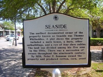
The earliest documented owner of the property known as Seaside was Thomas Whitesides. A plat shows the property included a main house, a barn, other outbuildings, and a row of four slave cabins. The land was divided among his five sons in the 1790s. There was a succession of owners throughout the nineteenth century. By 1859, Peter P. Bonneau owned the property and produced cotton, corn, sweet
Side B
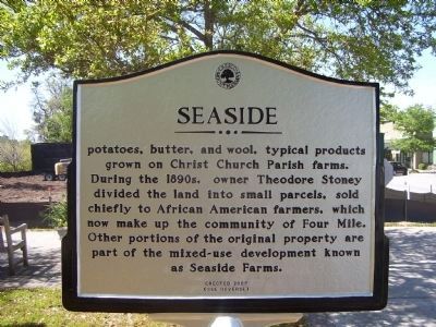
potatoes, butter, and wool, typical products grown on Christ Church Parish farms. During the 1890s, owner Theodore Stoney divided the land into small parcels, sold chiefly to African American farmers, which now make up the community of Four Mile. Other portions of the original property are part of the mixed-use development known as Seaside Farms.
Erected 2009.
Topics. This historical marker is listed in this topic list: Settlements & Settlers. A significant historical year for this entry is 1859.
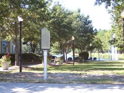
Location. 32° 49.27′ N, 79° 49.041′ W. Marker is in Mount Pleasant, South Carolina, in Charleston County. Marker is at the intersection of Long Grove Road and Riviera Road on Long Grove Road. Touch for map. Marker is in this post office area: Mount Pleasant SC 29466, United States of America. Touch for directions.
Other nearby markers. At least 8 other markers are within 2 miles of this marker, measured as the crow flies. Mount Pleasant Waterworks (approx. 1.1 miles away); Christ Church
Credits. This page was last revised on June 16, 2016. It was originally submitted on November 11, 2010. This page has been viewed 553 times since then and 18 times this year. Photos: 1, 2, 3. submitted on November 11, 2010. • Bill Pfingsten was the editor who published this page.


