El Paso in El Paso County, Texas — The American South (West South Central)
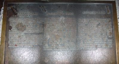
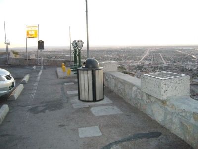
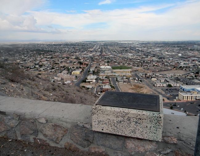
El Paso International Airport / The Butterfield Trail / Refinery Area
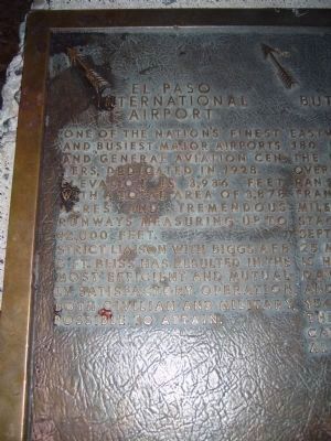
El Paso International Airport. One of the nation's finest and busiest major airports and general aviation centers, dedicated in 1928. Elevation is 3,936 feet with a total area of 3,878 acres and tremendous runways measuring up to 12,000 feet. Strict liaison with Biggs AFB and Ft. Bliss has resulted in the most efficient and mutually satisfactory operation, both civilian and military, possible to attain.
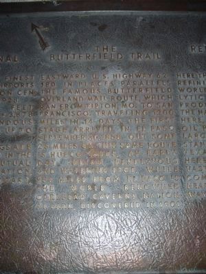
The Butterfield Trail. Eastward U.S. Highway 62-180 in places parallels the famous Butterfield Overland Mail Route, which ran from Tipton, Mo. to San Francisco. Traveling 1200 miles in 14 days, the first stage arrived in El Paso September 30, 1858. Out some 25 miles on this same route is Hueco Tanks, an early day Indian rendezvous and watering stop, while 154 miles from El Paso is the world renowned Carlsbad Caverns National Park, discovered in 1901.
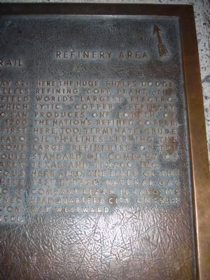
Refinery Area. Here the huge Phelps-Dodge Refining Corp. plant, the world's largest electrolytic copper refinery, produces one fourth of the nation's refined copper. Here, too, terminate crude oil pipelines serving the large refineries of the Standard Oil Company of Texas and Texaco, Inc. Here also, the lines of the vast El Paso Natural Gas Company reach El Paso, its headquarters city, on their way westward.
Erected 1962.
Topics. This historical marker is listed in these topic lists: Air & Space • Communications • Natural Resources • Roads & Vehicles. A significant historical month for this entry is September 1935.
Location. 31° 46.961′ N, 106° 28.777′ W. Marker is in El Paso, Texas, in El Paso County. Marker is on Scenic Drive, on the right when traveling east. Touch for map. Marker is at or near this postal address: 2208 Scenic Drive, El Paso TX 79902, United States of America. Touch for directions.
Other nearby markers. At least 8 other markers are within walking distance of this marker. Scenic Drive (here, next to this marker); William Beaumont General Hospital /Biggs Air Force Base / Fort Bliss (here, next to this marker); The Rio Grande Rectification Project (here, next to this marker); El Paso Lower Valley Missions/ Cordova Island/ The City and County of El Paso (a few steps from this marker); The Franklin Mountains (a few steps from this marker); The Rainmakers of 1891 (a few steps from this marker); The Rio Grande Irrigation Project (a few steps from this marker); The Chamizal Settlement (within shouting distance of this marker). Touch for a list and map of all markers in El Paso.
Also see . . . History of Phelps Dodge Corporation. (Submitted on November 13, 2010.)
Credits. This page was last revised on November 29, 2021. It was originally submitted on November 12, 2010, by Bill Kirchner of Tucson, Arizona. This page has been viewed 985 times since then and 40 times this year. Photos: 1, 2, 3, 4, 5. submitted on November 12, 2010, by Bill Kirchner of Tucson, Arizona. 6. submitted on September 2, 2013, by PaulwC3 of Northern, Virginia. • Syd Whittle was the editor who published this page.
