Murfreesboro in Rutherford County, Tennessee — The American South (East South Central)
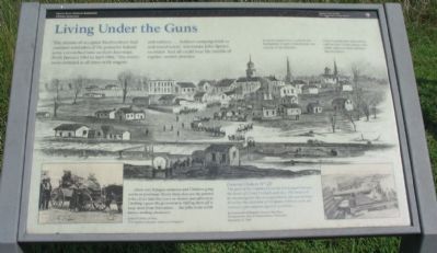
Living Under the Guns
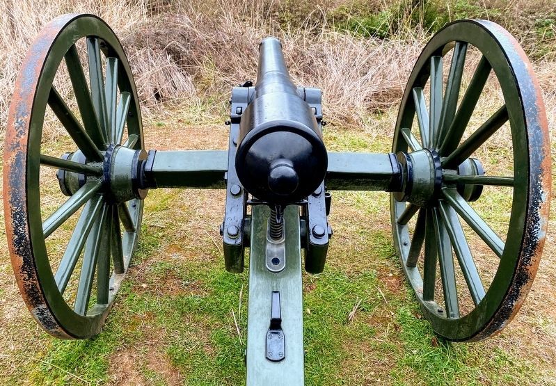
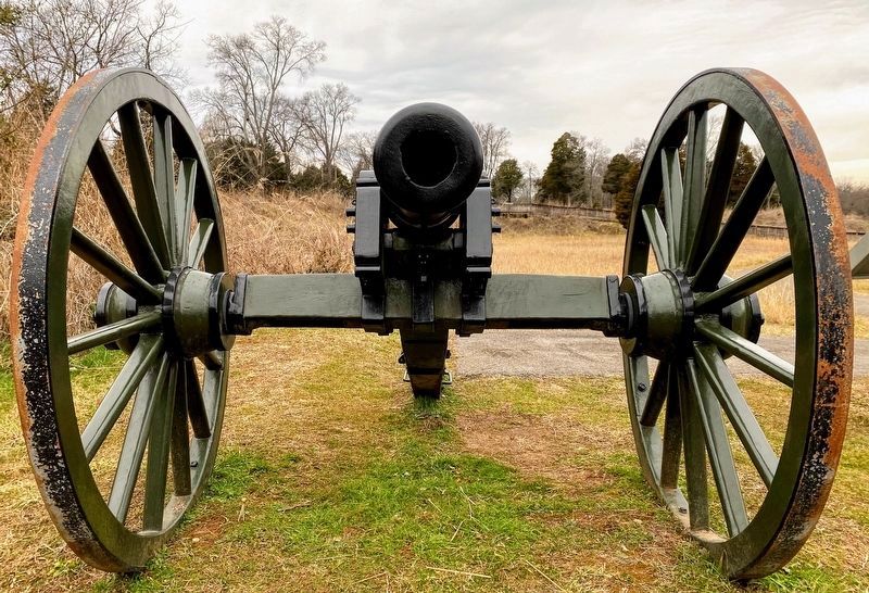
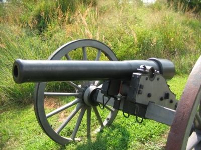
Federal cannon here could hit the Rutherford County Courthouse you can see in the distance. If the Confederates had tried to raid the fort, Union troops were under orders to shell and burn Murfreesboro.
...[there are] Refugees wimmen and Children going north on prettinear Every trane they are the poorest folks i Ever Saw they have no money and allmost no Clothing i guess the government is Halling them off to keep them from Starvation ... the folks in the north knows nothing about war.
James H. Jones, private
57th Indiana Volunteer Infantry, Company E
General Orders No. 20
The guns of the Command can be discharged between the hours of 12 and 1 o'clock each day. The men will be encouraged to fire at targets but in all cases it must be under the direction of Company Officers with all necessary precautions against accidents...
By Command of Brigadier General Van Cleve
Headquarters, Post of Murfreesboro, Tennessee
December 2, 1864
Erected by Stones River National Battlefield - National Park Service - U.S. Department of the Interior.
Topics. This historical marker is listed in this topic list: War, US Civil. A significant historical month for this entry is January 1863.
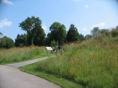
Location. 35° 51.021′ N, 86° 24.513′ W. Marker is in Murfreesboro, Tennessee, in Rutherford County. Marker can be reached from the intersection of Golf Lane (Old Fort Street) and Overall Street, on the right when traveling north. Located along the trail in the Fortress Rosecrans unit of the Stones River National Battlefield. Touch for map. Marker is in this post office area: Murfreesboro TN 37129, United States of America. Touch for directions.
Other nearby markers. At least 8 other markers are within walking distance of this marker. Lunette Thomas (within shouting distance of this marker); New Citizen Soldiers (about 300 feet away, measured in a direct line); I Never Saw Anything Like Them Before (about 300 feet away); Fortress Rosecrans (about 400 feet away); Covered by Cross Fires (about 500 feet away); Defense of Fortress Rosecrans (about 500 feet away); a different marker also named Fortress Rosecrans (about 500 feet away); Toil and Mud (approx. 0.2 miles away). Touch for a list and map of all markers in Murfreesboro.
Also see . . . Fortress Rosecrans. National Park Service page. (Submitted on November 13, 2010, by Craig Swain of Leesburg, Virginia.)
Credits. This page was last revised on March 16, 2021. It was originally submitted on November 13, 2010, by Craig Swain of Leesburg, Virginia. This page has been viewed 834 times since then and 16 times this year. Photos: 1. submitted on November 13, 2010, by Craig Swain of Leesburg, Virginia. 2, 3. submitted on March 14, 2021, by Shane Oliver of Richmond, Virginia. 4, 5. submitted on November 13, 2010, by Craig Swain of Leesburg, Virginia.
