West Central El Paso in El Paso County, Texas — The American South (West South Central)
El Paso Lower Valley Missions/ Cordova Island/ The City and County of El Paso
Photographed by Bill Kirchner, November 4, 2010
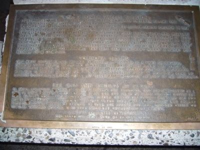
1. El Paso Lower Valley Missions Marker
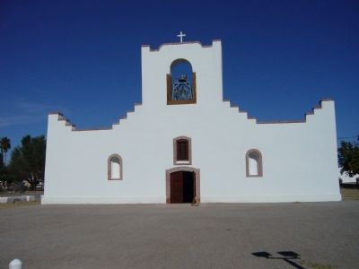
Socorro Mission -- 1682. Regarded as the oldest active parish church in the U.S. Has a unique burying ground and descansas.
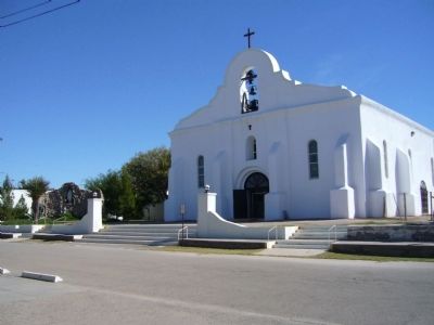
San Elizario -- where domestic animals were first introduced and military garrison established in the now continental U.S. by Don Juan de Onate in 1598. The presidio chapel was founded in 1777 and El Paso's first courthouse in 1850 and the first county jail west of San Antonio, where Billy the Kid was once confined. Here is reportedly the oldest building in Texas, the once vice-regal palace and seat of Spanish government. The Salt War monument marks a short and bloody civil conflict.
this page online
Erected 1962 by the State National Bank of El Paso.
Topics. This historical marker is listed in these topic lists: Notable Places • Religion & Religious Structures. A significant historical year for this entry is 1681.
Location. 31° 46.957′ N, 106° 28.784′ W. Marker is in El Paso, Texas, in El Paso County. It is in West Central El Paso. It is on Scenic Drive, on the right when traveling east. Touch for map. Marker is at or near this postal address: 2208 Scenic Drive, El Paso TX 79902, United States of America. Touch for directions.

Regionally, this marker is in the Trans-Pecos & Big Bend
Photographed by Bill Kirchner, November 4, 2010
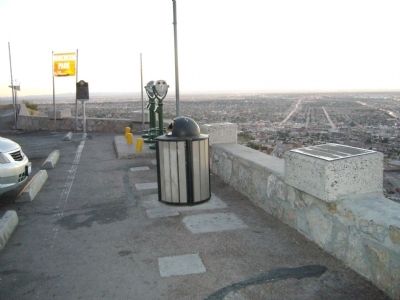
2. Mount Franklin Scenic Overlook
El Paso Lower Valley Missions Marker is the first marker on the right.
Other nearby markers. At least 8 other markers are within walking distance of this marker: The Franklin Mountains (here, next to this marker); The Rio Grande Rectification Project (here, next to this marker); The Rainmakers of 1891 (here, next to this marker); The Rio Grande Irrigation Project (here, next to this marker); El Paso International Airport / The Butterfield Trail / Refinery Area (a few steps from this marker); The Chamizal Settlement (a few steps from this marker); Scenic Drive (a few steps from this marker); William Beaumont General Hospital /Biggs Air Force Base / Fort Bliss (a few steps from this marker). Touch for a list and map of all markers in El Paso.
Photographed by PaulwC3, July 19, 2013
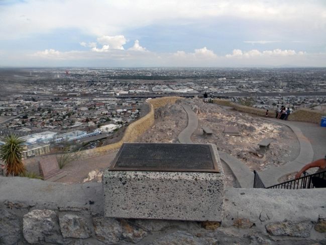
3. Wide view of the El Paso Lower Valley Missions/ Cordova Island/The City and County of El Paso Marker
Photographed by Bill Kirchner, November 4, 2010
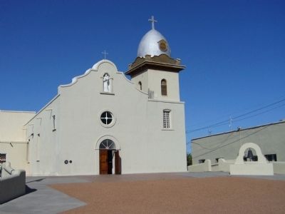
4. Ysleta Mission
Photographed by Bill Kirchner, November 4, 2010
5. Socorro Mission
Photographed by Bill Kirchner, November 4, 2010
6. San Elizaro Chapel
Credits. This page was last revised on June 16, 2016. It was originally submitted on November 13, 2010, by Bill Kirchner of Tucson, Arizona. This page has been viewed 1,853 times since then and 71 times this year. Photos: 1, 2. submitted on November 13, 2010, by Bill Kirchner of Tucson, Arizona. 3. submitted on September 2, 2013, by PaulwC3 of Northern, Virginia. 4, 5, 6. submitted on November 13, 2010, by Bill Kirchner of Tucson, Arizona. • Syd Whittle was the editor who published this page.
