Hopewell, Virginia — The American South (Mid-Atlantic)
City Point Defenses
Securing the Union Position
Inscription.
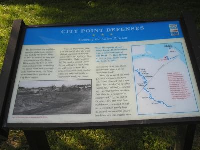
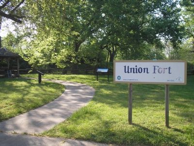
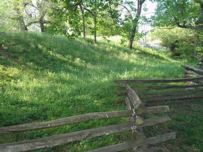
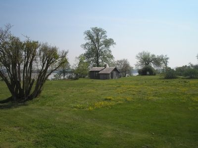
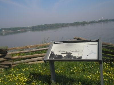
The fort behind you is all that remains of the inner defense line built by the Union army in 1864 to protect its base headquarters at City point. With a powerful fleet of ironclads and gunboats controlling the James River and a numerically superior army, the Federals believed their position at City Point secure.
Then, in September 1864, just one month after the unexplained explosion of the ordnance wharf at City Point, Confederate Gen. Wade Hampton led his cavalry around Union forces to Coggin’s Point, only six miles east of here. His raiders captured 2,486 head of cattle and returned safely to Confederate territory. Hampton’s daring foray into Union lines became known as the “Beefsteak Raid.”
Abruptly aware of his headquarters’ vulnerability, Gen. U.S. Grant directed that a new line of earthworks “be speedily thrown up,” belatedly recognizing that “[u]ntil they are done this place is in danger of a cavalry raid.” By the end of October 1864, the outer line of defenses, composed of eight forts, stretched nearly four miles and enclosed the entire headquarters and supply area.
(Sidebar Quote): “From the reports of your scouts I judge that the enemy is very open to attack at City Point…”
- Gen. Wade Hampton, Sept. 3, 1864.
Erected by Virginia Civil War Trails.
Topics and series. This historical marker is listed in this topic list: War, US Civil. In addition, it is included in the Former U.S. Presidents: #18 Ulysses S. Grant, and the Virginia Civil War Trails series lists. A significant historical month for this entry is September 1864.
Location. 37° 18.572′ N, 77° 16.756′ W. Marker is in Hopewell, Virginia. Marker is at the intersection of Appomattox Street and Cedar Lane, on the right when traveling north on Appomattox Street. Touch for map. Marker is in this post office area: Hopewell VA 23860, United States of America. Touch for directions.
Other nearby markers. At least 8 other markers are within walking distance of this marker. U.S. Government Bakery (a few steps from this marker); Union Fort (within shouting distance of this marker); St. John's Episcopal Church Bell (approx. ¼ mile away); The Bull Ring At City Point (approx. 0.3 miles away); St. John's Episcopal Church (approx. 0.3 miles away); Dr. Peter Eppes House (approx. 0.4 miles away); Porter House (approx. 0.4 miles away); City Point, Virginia (approx. 0.4 miles away). Touch for a list and map of all markers in Hopewell.
More about this marker. On the lower left is a photo of "Part of the inner line of defense at City Point." A map on the right is captioned:
Named for Union commanders killed in the 1864 Overland Campaign, the City Point forts provided a strong line of defense. According to Provost Marshal Marsena R. Patrick, who rode over the defenses soon after they were completed, “we can, certainly, make a pretty good fight over these breastworks.”
Also see . . . City Point. The Civil War Siege of Petersburg. (Submitted on December 21, 2008, by Bill Coughlin of Woodland Park, New Jersey.)
Credits. This page was last revised on June 16, 2016. It was originally submitted on November 28, 2007, by Bill Coughlin of Woodland Park, New Jersey. This page has been viewed 1,826 times since then and 28 times this year. Photos: 1, 2, 3, 4, 5, 6. submitted on November 28, 2007, by Bill Coughlin of Woodland Park, New Jersey. • Craig Swain was the editor who published this page.
