El Paso in El Paso County, Texas — The American South (West South Central)
Stephen Tyng Mather
July 4, 1867 - Jan. 22, 1930
Topics and series. This historical marker is listed in this topic list: Parks & Recreational Areas. In addition, it is included in the Stephen Tyng Mather series list.
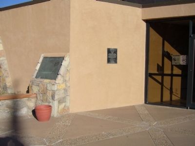
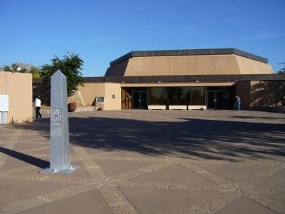
Location. 31° 46.063′ N, 106° 27.238′ W. Marker is in El Paso, Texas, in El Paso County. Marker can be reached from South San Marcial Street. Marker is located at the entrance to the Chamizal National Memorial Visitor Center. Touch for map. Marker is at or near this postal address: 800 South San Marcial Street, El Paso TX 79905, United States of America. Touch for directions.
Other nearby markers. At least 8 other markers are within walking distance of this marker. Chamizal National Memorial (here, next to this marker); Estela Portillo Trambley (within shouting distance of this marker); Defining A Border (about 700 feet away, measured in a direct line); Guardian Angel Church (approx. 0.6 miles away); Site of Camp Concordia and Fort Bliss (approx. ¾ mile away); Henry C. Trost (approx. 0.8 miles away); Urbici Soler (approx. 0.8 miles away); Victoriano Huerta (approx. 0.8 miles away). Touch for a list and map of all markers in El Paso.
Credits. This page was last revised on December 21, 2019. It was originally submitted on November 14, 2010, by Bill Kirchner of Tucson, Arizona. This page has been viewed 571 times since then and 20 times this year. Photos: 1, 2, 3. submitted on November 14, 2010, by Bill Kirchner of Tucson, Arizona. • Syd Whittle was the editor who published this page.


