Lomira in Dodge County, Wisconsin — The American Midwest (Great Lakes)
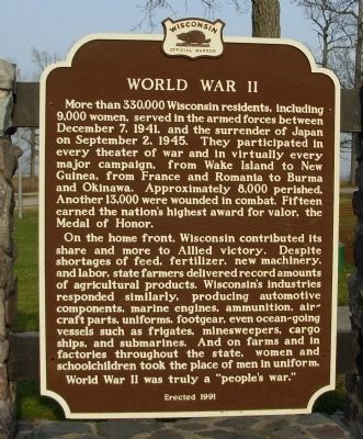
World War II
Photographed by Paul F, November 10, 2010
1. World War II Marker
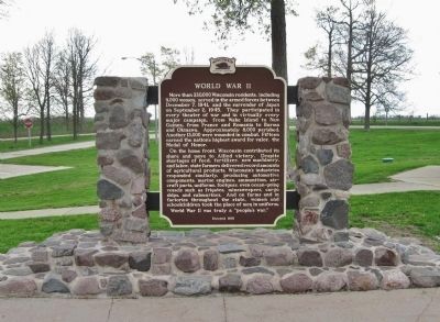
On the home front, Wisconsin contributed its share and more to Allied victory. Despite shortages of feed, fertilizer, new machinery, and labor, state farmers delivered record amounts of agricultural products. Wisconsin’s industries responded similarly, producing automotive components, marine engines, ammunition, air-craft parts, uniforms, footgear, even ocean-going vessels such as frigates, minesweepers, cargo ships, and submarines. And on farms and in factories throughout the state, women and schoolchildren took the place of men in uniform.
World War II was truly a “people’s war.”
Erected 1991 by Wisconsin State Historical Society. (Marker
this page online
Topics and series. This historical marker is listed in this topic list: War, World II. In addition, it is included in the Wisconsin Historical Society series list. A significant historical month for this entry is September 1894.
Location. 43° 33.45′ N, 88° 25.65′ W. Marker is in Lomira, Wisconsin, in Dodge County. It can be reached from U.S. 41 2 miles north of Wisconsin Highway 28. Marker is located in the north bound rest area of U.S. 41, 2 miles north of State Hwy 28 interchange, or 2 miles south of State Hwy 67 interchange. Touch for map. Marker is in this post office area: Lomira WI 53048, United States of America. Touch for directions.

Regionally, this marker is in the American Midwest and in the Corn Belt. Globally, it is in North America, the Western Hemisphere, the Western World, and the Anglosphere. Historically, it finds itself in what was once the territory of the Mississippian Culture and also the Northwest Territory.
Other nearby markers. At least 8 other markers are within 10 miles of this marker, measured as the crow flies: Solomon Juneau Lake Theresa Dam (approx. 3 miles away); Solomon Juneau House (approx.
Photographed by Paul F, November 10, 2010
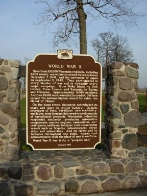
2. World War II Marker
Photographed by Paul F, November 10, 2010
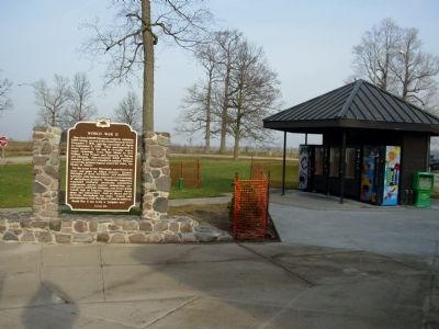
3. World War II Marker
Photographed by Joel Seewald, May 30, 2017
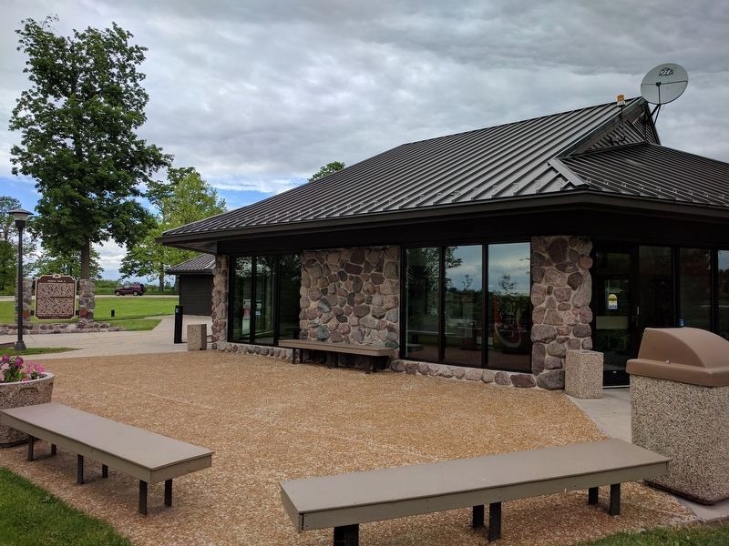
4. World War II Marker
Photographed by Keith L, May 14, 2013
5. World War II Marker
Credits. This page was last revised on July 6, 2017. It was originally submitted on November 15, 2010, by Paul Fehrenbach of Richfield, Wisconsin. This page has been viewed 1,166 times since then and 41 times this year. Photos: 1, 2, 3. submitted on November 15, 2010, by Paul Fehrenbach of Richfield, Wisconsin. 4. submitted on July 4, 2017, by Joel Seewald of Madison Heights, Michigan. 5. submitted on May 21, 2013, by Keith L of Wisconsin Rapids, Wisconsin. • Bill Pfingsten was the editor who published this page.
