Mount Pleasant in Charleston County, South Carolina — The American South (South Atlantic)
Scanlonville
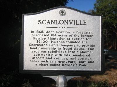
1. Scanlonville Marker
Erected by Town of Mount Pleasant.
Topics. This historical marker is listed in these topic lists: African Americans • Settlements & Settlers. A significant historical year for this entry is 1868.
Location. 32° 48.636′ N, 79° 53.307′ W. Marker is in Mount Pleasant, South Carolina, in Charleston County. It is at the intersection of Mathis Ferry Road and 5th Avenue on Mathis Ferry Road. Touch for map. Marker is in this post office area: Mount Pleasant SC 29464, United States of America. Touch for directions.

Regionally, this marker is in the Lowcountry. It is also in the American South, specifically in the Deep South, and on the Eastern Seaboard. Globally, it is in the North Atlantic Region, North America, the Western Hemisphere, the Western World,
this page online
Other nearby markers. At least 8 other markers are within walking distance of this marker: Hobcaw Point Powder Magazine (approx. 0.3 miles away); Hobcaw Shipyards (approx. half a mile away); Jacob Bond I'On (approx. half a mile away); Maybank Green / Hobcaw Plantation (approx. 0.6 miles away); One Hand Sanders / Prince's Ferry (approx. 0.7 miles away); Shipyard Road / Shelmore Boulevard (approx. 0.7 miles away); I'on Cemetery (approx. ¾ mile away); Channel 2 & Suzie Q (approx. 0.9 miles away). Touch for a list and map of all markers in Mount Pleasant.
Photographed by Mike Stroud, 2010
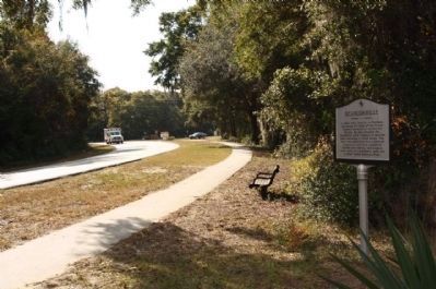
2. Scanlonville Marker, looking south along Mathis Ferry Road
November 16, 2010
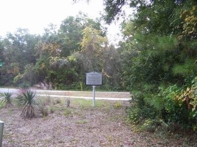
3. Scanlonville Marker
Credits. This page was last revised on June 16, 2016. It was originally submitted on November 16, 2010. This page has been viewed 1,261 times since then and 69 times this year. Photos: 1. submitted on November 16, 2010. 2. submitted on November 23, 2010, by Mike Stroud of Bluffton, South Carolina. 3. submitted on November 16, 2010. • Bill Pfingsten was the editor who published this page.
