Rockville in Parke County, Indiana — The American Midwest (Great Lakes)
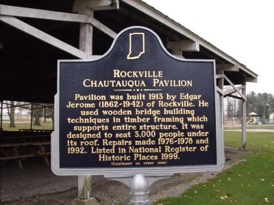
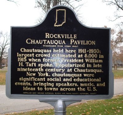
Rockville Chautauqua Pavilion
Chautauquas held here 1911–1930, largest crowd estimated at 8,000 in 1915 when former President William H. Taft spoke. Popularized in late nineteenth century at Chautauqua, New York, chautauquas were significant social and educational events, bringing speakers, music, and ideas to towns across the U.S.
Erected 2001 by Indiana Historical Bureau and Parke County Historical Society. (Marker Number 61.2001.1.)
Topics and series. This historical marker is listed in these topic lists: Arts, Letters, Music • Bridges & Viaducts • Education. In addition, it is included in the Former U.S. Presidents: #27 William Howard Taft, and the Indiana Historical Bureau Markers series lists. A significant historical year for this entry is 1913.
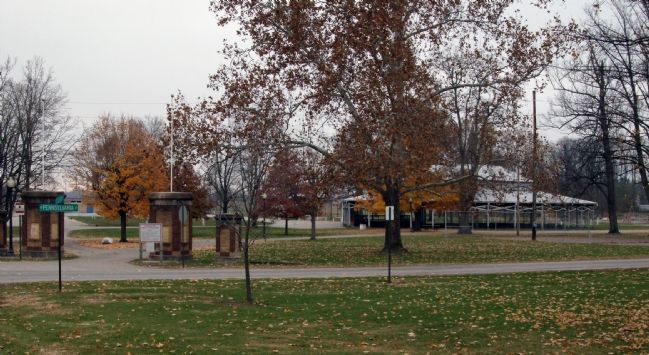
Location. 39° 45.603′ N, 87° 14.111′ W. Marker is in Rockville, Indiana, in Parke County. Marker can be reached from South College Street near West Pennsylvania Street. Marker is to the left of the Pavilion which is located in Rockville’s Beechwood Park in the southwest part of town. Touch for map. Marker is in this post office area: Rockville IN 47872, United States of America. Touch for directions.
Other nearby markers. At least 8 other markers are within walking distance of this marker. Parke County Museum (approx. 0.2 miles away); World War Memorial (approx. 0.4 miles away); Korea (approx. 0.4 miles away); Honor Roll (approx. 0.4 miles away); Viet-Nam Honor Roll (approx. 0.4 miles away); Naming of Rockville (approx. 0.4 miles away); Old 1832 Jail (approx. half a mile away); Juliet V. Strauss (approx. half a mile away). Touch for a list and map of all markers in Rockville.
Related marker. Click here for another marker that is related to this marker.
Also see . . . What was Chautauqua ? - Some Answers !. (Submitted on November 19, 2007, by Al Wolf of Veedersburg, Indiana.)
Additional keywords. William H. Taft Bridge Construction
Credits. This page was last revised on November 19, 2019. It was originally submitted on November 19, 2007, by Al Wolf of Veedersburg, Indiana. This page has been viewed 2,470 times since then and 18 times this year. Last updated on November 29, 2007, by Christopher Light of Valparaiso, Indiana. Photos: 1, 2, 3. submitted on November 19, 2007, by Al Wolf of Veedersburg, Indiana. • J. J. Prats was the editor who published this page.


