Dover in Stewart County, Tennessee — The American South (East South Central)
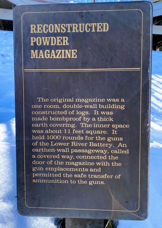
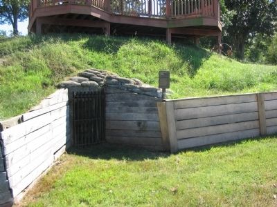
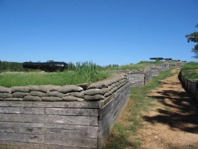
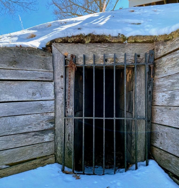
Reconstructed Powder Magazine
Topics. This historical marker is listed in this topic list: War, US Civil.
Location. 36° 29.691′ N, 87° 51.373′ W. Marker is in Dover, Tennessee, in Stewart County. Marker can be reached from Lock D Loop, on the left when traveling north. Located at stop 4, the river batteries, on the driving tour of Fort Donelson National Battlefield. Touch for map. Marker is in this post office area: Dover TN 37058, United States of America. Touch for directions.
Other nearby markers. At least 8 other markers are within walking distance of this marker. Exchanging Iron Valentines (here, next to this marker); Foote's Gunboat Flotilla (here, next to this marker); Control the Rivers and Railroads (here, next to this marker); See Me Take a Chimney! (a few steps from this marker); Killed By a Loose Bolt (within shouting distance of this marker); The River Batteries (within shouting distance of this marker); Gun Positions (within shouting distance of this marker); U.S. Gunboat Carondelet (within shouting distance of this marker). Touch for a list and map of all markers in Dover.
Also see . . . Fort Donelson. National Park Service page. (Submitted on November 21, 2010, by Craig Swain of Leesburg, Virginia.)
Credits. This page was last revised on May 10, 2021. It was originally submitted on November 21, 2010, by Craig Swain of Leesburg, Virginia. This page has been viewed 513 times since then and 13 times this year. Photos: 1. submitted on May 10, 2021, by Shane Oliver of Richmond, Virginia. 2, 3. submitted on November 21, 2010, by Craig Swain of Leesburg, Virginia. 4. submitted on May 10, 2021, by Shane Oliver of Richmond, Virginia.


