Mount Pleasant in Charleston County, South Carolina — The American South (South Atlantic)
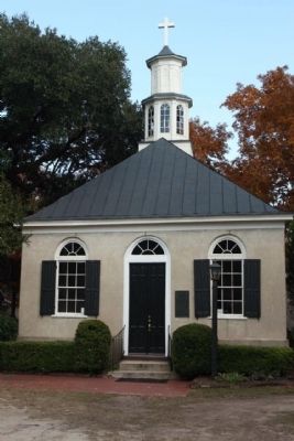
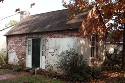
Christ Church
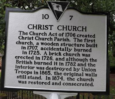
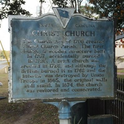
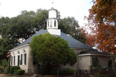
The Church Act of 1706 created Christ Church Parish. The first church, a wooden structure built in 1707, accidentally burned in 1725. A brick church was erected in 1726, and although the British burned it in 1782 and the interior was destroyed by Union Troops in 1865, the original walls still stand. In 1874, the church was restored and consecrated.
Erected 1970 by The Congregation. (Marker Number 10-7.)
Topics. This historical marker is listed in these topic lists: Cemeteries & Burial Sites • Churches & Religion. A significant historical year for this entry is 1706.
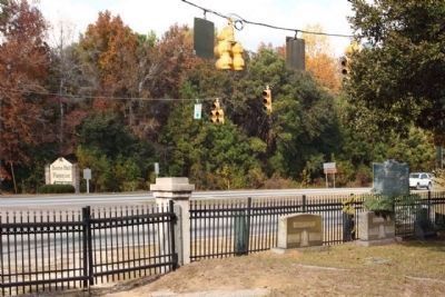
Location. 32° 50.659′ N, 79° 48.843′ W. Marker is in Mount Pleasant, South Carolina, in Charleston County. Marker is on U.S. 17 near opposite Long Point Road, on the right when traveling north. Touch for map. Marker is in this post office area: Mount Pleasant SC 29466, United States of America. Touch for directions.
Other nearby markers. At least 8 other markers are within walking distance of this marker. A different marker also named Christ Church (within shouting distance of this marker); Snee Farm (within shouting distance of this marker); Confederate Lines (about 400 feet away, measured in a direct line); Boone Hall Plantation (approx. ¼ mile away); Charles Pinckney (approx. 0.6 miles away); a different marker also named Charles Pinckney (approx. 0.6 miles away); Archeology (approx. 0.6 miles away); a different marker also named Snee Farm (approx. 0.6 miles away). Touch for a list and map of all markers in Mount Pleasant.
Regarding Christ Church. National Register of Historic Places:
Christ Church (added 1972 - Building - #72001201)
4.6 mi. NE of Mount Pleasant on U.S. 17, Mount Pleasant
Architectural Style: Colonial •
Significant Year: 1787, 1726 •
Area of Significance: Religion, Politics/Government, Architecture •
Period of Significance: 1700-1749, 1750-1799 •
Historic Sub-function: Religious Structure •
Credits. This page was last revised on May 24, 2023. It was originally submitted on November 21, 2010, by Mike Stroud of Bluffton, South Carolina. This page has been viewed 1,113 times since then and 52 times this year. Photos: 1. submitted on May 22, 2023, by Dave W of Co, Colorado. 2, 3, 4, 5. submitted on November 21, 2010, by Mike Stroud of Bluffton, South Carolina. 6. submitted on November 28, 2010, by Mike Stroud of Bluffton, South Carolina.
