Schoharie in Schoharie County, New York — The American Northeast (Mid-Atlantic)
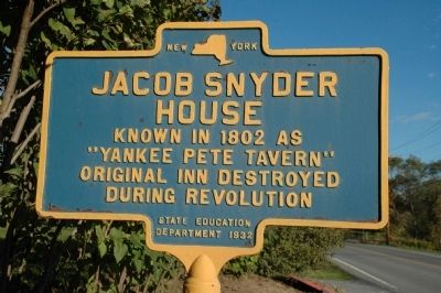
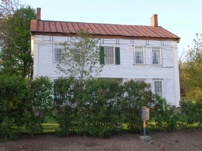
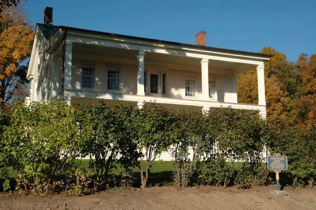
Jacob Snyder House
House
Known in 1802 as
"Yankee Pete Tavern"
Original Inn Destroyed
During Revolution
Erected 1932 by New York State Education Department.
Topics. This historical marker is listed in these topic lists: Notable Buildings • War, US Revolutionary. A significant historical year for this entry is 1802.
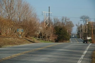
Location. 42° 40.811′ N, 74° 17.759′ W. Marker is in Schoharie, New York, in Schoharie County. Marker is on New York State Route 443, on the right when traveling west. Touch for map. Marker is at or near this postal address: 167 Route 443, Schoharie NY 12157, United States of America. Touch for directions.
Other nearby markers. At least 8 other markers are within walking distance of this marker. George Mann Tory Tavern (approx. 0.2 miles away); Stone Church Parsonage (approx. ¼ mile away); Bridge No. 1 (approx. ¼ mile away); Col. Peter Vroman (approx. 0.3 miles away); Simeon Laraway Mill (approx. 0.3 miles away); David Williams Memorial (approx. 0.4 miles away); Colonel John Harper (approx. 0.4 miles away); Revolution in the Mohawk Valley (approx. 0.4 miles away). Touch for a list and map of all markers in Schoharie.
Credits. This page was last revised on June 16, 2016. It was originally submitted on October 18, 2010, by Howard C. Ohlhous of Duanesburg, New York. This page has been viewed 1,362 times since then and 48 times this year. Last updated on November 22, 2010, by Howard C. Ohlhous of Duanesburg, New York. Photos: 1. submitted on October 19, 2010, by Howard C. Ohlhous of Duanesburg, New York. 2. submitted on November 22, 2010, by Howard C. Ohlhous of Duanesburg, New York. 3, 4. submitted on October 19, 2010, by Howard C. Ohlhous of Duanesburg, New York. • Bill Pfingsten was the editor who published this page.


