Near Troutdale in Multnomah County, Oregon — The American West (Northwest)
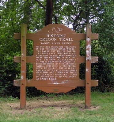
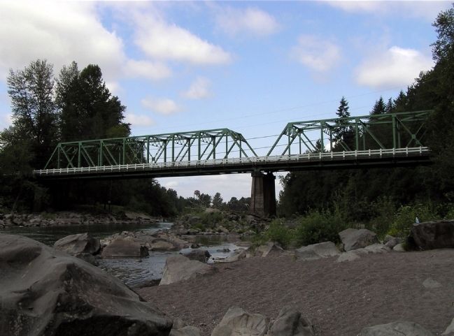
Sandy River Bridge
On October 30, 1792 off the point in the Columbia River where the Sandy empties its waters, the boat crew from the H.M.S. Chatham (Vancouver's Voyages) were the first white men to sight the snowclad peak which Lt. Wm. R. Broughton named Mt. Hood in honor of Vice Admiral Samuel Lord Hood of the British Navy. He called the stream Barings River. Later in November 1805 Lewis and Clark called it the Quicksand River. Still later by common use it became known as Sandy River.
Erected by Oregon Department of Transportation and Oregon Travel Information Council.
Topics and series. This historical marker is listed in this topic list: Exploration. In addition, it is included in the Lewis & Clark Expedition, the Oregon Beaver Boards, and the Oregon Trail series lists. A significant historical month for this entry is October 1862.
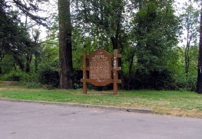
Location. 45° 32.294′ N, 122° 22.532′ W. Marker is near Troutdale, Oregon, in Multnomah County. Marker is at the intersection of Historic Columbia River Highway and Crown Point Highway on Historic Columbia River Highway. The marker is located at the east approach to the Sandy River Bridge, on the edge of a parking area, in Columbia River Gorge National Scenic Area. Touch for map. Marker is in this post office area: Troutdale OR 97060, United States of America. Touch for directions.
Other nearby markers. At least 8 other markers are within 6 miles of this marker, measured as the crow flies. Tad's Chicken 'N Dumplin's (approx. 0.3 miles away); Camas-Washougal War Memorial (approx. 3.6 miles away in Washington); Crown Zellerbach Employee World War II Memorial (approx. 3.7 miles away in Washington); The First School in Camas (approx. 3.9 miles away in Washington); Corbett (approx. 4.1 miles away); Broughton’s Expedition (approx. 4.9 miles away); Chanticleer Point (approx. 5.6 miles away); Samuel Hill – “Road Builder” (approx. 5.6 miles away).
Also see . . .
1. Sandy River Bridge - Troutdale, Oregon. Waymarking website entry (Submitted on May 4, 2022, by Larry Gertner of New York, New York.)
2. Troutdale Bridge. City of Troutdale website entry (Submitted on March 16, 2022, by Larry Gertner of New York, New York.)
Credits. This page was last revised on May 4, 2022. It was originally submitted on November 25, 2010, by PaulwC3 of Northern, Virginia. This page has been viewed 1,202 times since then and 21 times this year. Photos: 1, 2, 3. submitted on November 25, 2010, by PaulwC3 of Northern, Virginia.


