Near Ellensburg in Kittitas County, Washington — The American West (Northwest)
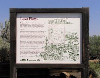
Lava Flows
Imagine standing here millions of years ago on the edge of a huge plain fringed by distant mountains. Cypress trees grow in the swamps. Maple, sycamore, ginkgo, sequoia, and fir cover the nearby hills and mountains. Ancestors of rhinoceroses and camels feed on the lush vegetation.
Then, this peaceful scene is disturbed by lava welling up from within the earth and rushing across the land. The flow covers tens of thousands of square miles, burying forests, rivers, and swamps. As it cools, the lava solidifies into rock called basalt. Scientific evidence indicates that dramatic events such as these occurred repeatedly between 14 and 18 million years ago.
Beneath your feet are more than fifty lava flows, each having gushed from cracks in the earth more than 100 miles to the east. The uppermost is the Kelly Hollow flow, nearly 200 feet thick here. It continues nearly 200 miles southwest to the Oregon Coast.
As you continue east, watch for the layers of basalt in the road cuts and canyon walls. The remains of the ancient trees entombed in basalt may be viewed at Ginkgo Petrified Forest State Park. Beyond the park, the basaltic cliffs of the Columbia River have been carved by the Ice Age floods.
Erected by Washington State Department of Transportation. (Marker Number 44.)
Topics. This historical marker is listed in this topic list: Natural Features.
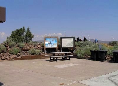
Location. 46° 56.504′ N, 120° 12.208′ W. Marker is near Ellensburg, Washington, in Kittitas County. Marker can be reached from Interstate 90 at milepost 126,, 10.4 miles east of Main Street when traveling east. The marker is located at Ryegrass Safety Rest Area Eastbound, 9.8 miles east of Exit 115 on Interstate 90. Touch for map. Marker is in this post office area: Ellensburg WA 98926, United States of America. Touch for directions.
Other nearby markers. At least 1 other marker is within walking distance of this marker. The Olmstead Place (approx. half a mile away).
Related marker. Click here for another marker that is related to this marker. To better understand the relationship, study the marker shown.
Also see . . .
1. Cascades Volcano Observatory. USGS website entry (Submitted on November 27, 2010, by PaulwC3 of Northern, Virginia.)
2. The Columbia River Basalt Group - Exposed by the Ice Age Floods. Huge Floods website entry (Submitted on November 27, 2010, by PaulwC3 of Northern, Virginia.)

Photographed By Paul Crumlish, July 31, 2010
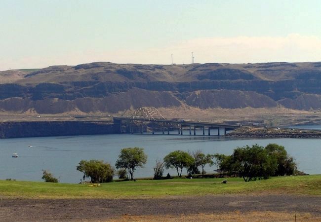
3. Basaltic Cliffs of the Columbia River
Interstate 90 crosses the river at Vantage then climbs the cliffs on the eastern shore. Note the size of the vehicles on the highway for scale of the cliff wall. The Columbia River is 12 miles east of the Lava Flows marker.
Credits. This page was last revised on January 20, 2024. It was originally submitted on November 27, 2010, by PaulwC3 of Northern, Virginia. This page has been viewed 1,091 times since then and 61 times this year. Photos: 1, 2, 3. submitted on November 27, 2010, by PaulwC3 of Northern, Virginia.
Editor’s want-list for this marker. Photos of the remains of the ancient trees entombed in basalt at Ginkgo Petrified Forest State Park • Can you help?

