Nanticoke Hundred in Greenwood in Sussex County, Delaware — The American Northeast (Mid-Atlantic)
St. Johnstown Methodist Church
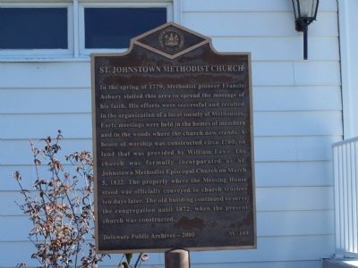
Photographed by Beverly Pfingsten, November 12, 2010
1. St. Johnstown Methodist Church Marker
Erected 2000 by Delaware Public Archives. (Marker Number SC-149.)
Topics and series. This historical marker is listed in this topic list: Religion & Religious Structures. In addition, it is included in the Delaware Public Archives series list. A significant historical date for this entry is March 5, 1822.
Location. 38° 48.12′ N, 75° 34.446′ W. Marker is in Greenwood, Delaware, in Sussex County. It is in Nanticoke Hundred. It is on Saint Johnstown
this page online

Regionally, this marker is in the American Mid-Atlantic, on the Delmarva Peninsula, and on the Eastern Seaboard. Globally, it is in the North Atlantic Region, North America, the Western Hemisphere, the Western World, and the Anglosphere. Historically, it finds itself in what was once New Netherland, one of the original Thirteen Colonies, and the Antebellum South.
Other nearby markers. At least 8 other markers are within 5 miles of this marker, measured as the crow flies: Veterans Memorial (within shouting distance of this marker); a different marker also named Veterans Memorial (approx. 0.3 miles away); Greenwood V.F.W. (approx. one mile away); Greenwood School 222-C (approx. 1.3 miles away); Phillis Wheatley School (approx. 3.8 miles away); Sudler House (approx. 4 miles away); Bridgeville, Delaware (approx. 4.2 miles away); a different marker also named Veterans Memorial (approx. 4.3
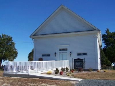
Photographed by Beverly Pfingsten, November 12, 2010
2. St. Johnstown Methodist Church
Another marker is no longer nearby. Sudler House (was approx. 4.1 miles away but has been replaced with another marker now near it).
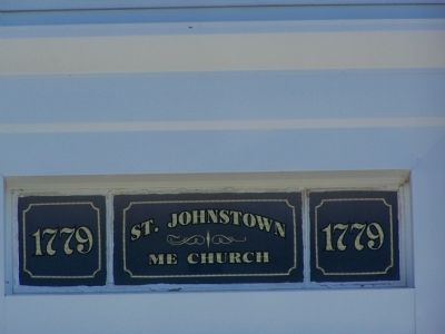
Photographed by Beverly Pfingsten, November 12, 2010
3. St. Johnstown Methodist Church
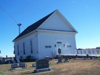
Photographed by Beverly Pfingsten, November 12, 2010
4. St. Johnstown Methodist Church and Cemetery
Credits. This page was last revised on June 5, 2026. It was originally submitted on December 2, 2010, by Bill Pfingsten of Bel Air, Maryland. This page has been viewed 1,291 times since then and 46 times this year. Photos: 1, 2, 3, 4. submitted on December 2, 2010, by Bill Pfingsten of Bel Air, Maryland.
