Near Brussels in Door County, Wisconsin — The American Midwest (Great Lakes)
Well Site
Tornado Memorial Park
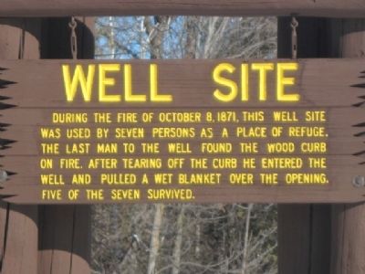
Photographed by Robert L Weber, December 15, 2010
1. Well Site Marker
Topics. This historical marker is listed in these topic lists: Disasters • Notable Events. A significant historical month for this entry is October 1898.
Location. 44° 45.945′ N, 87° 32.435′ W. Marker is near Brussels, Wisconsin, in Door County. It is on County Route DK west of Stevenson Pier Road, on the left when traveling north. Touch for map. Marker is in this post office area: Brussels WI 54204, United States of America. Touch for directions.

Regionally, this marker is on the Door Peninsula. It is also in the American Midwest and in the Corn Belt. Globally, it is in North America, on the Great Lakes, in the Western Hemisphere, in the Western World, and in the Anglosphere. Historically, it finds itself in what was once the territory of the Mississippian Culture and also the Northwest Territory.
Other nearby markers. At least 8 other markers are
this page online
More about this marker. Located within Tornado Memorial Park. This wayside park serves as a memorial for the former village of Williamsonville, which was destroyed on October 8, 1871 when a “tornado of fire” claimed 128 lives. This occured on the same exact day as the Great Chicago Fire and the lesser known Peshtigo fire. This site is officially recognized by the Door County Historical Society. It’s located just south of the County K intersection.
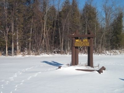
Photographed by Robert L Weber, December 14, 2010
2. Well Site Marker from a distance
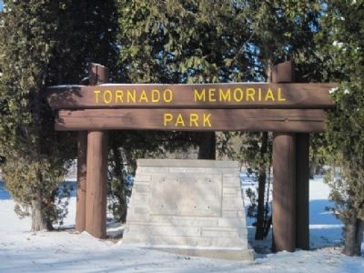
Photographed by Robert L Weber, December 14, 2010
3. Tornado Memorial Park
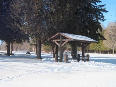
Photographed by Robert L Weber, December 14, 2010
4. Shelter at site
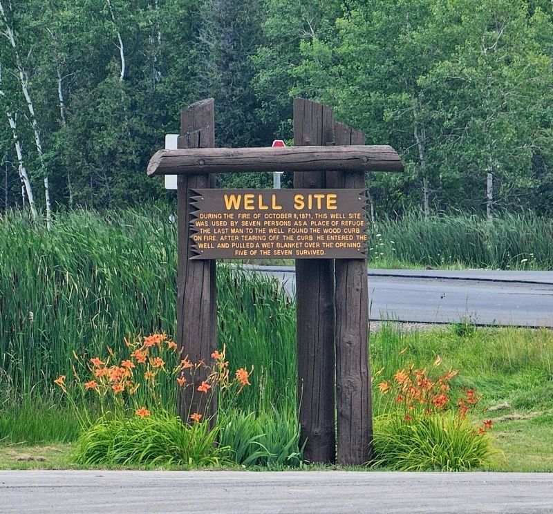
Photographed by Ian Lefkowitz, July 28, 2024
5. Well Site Marker
The well site in spring.
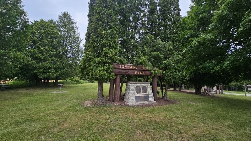
Photographed by Ian Lefkowitz, July 28, 2024
6. Tornado Memorial Park
The well site historical marker is located in Tornado Memorial Park.
Credits. This page was last revised on April 3, 2025. It was originally submitted on December 15, 2010, by Bob (peach) Weber of Dewey, Arizona. This page has been viewed 1,346 times since then and 42 times this year. Photos: 1, 2, 3. submitted on December 15, 2010, by Bob (peach) Weber of Dewey, Arizona. 4. submitted on June 7, 2011, by Bob (peach) Weber of Dewey, Arizona. 5, 6. submitted on March 25, 2025, by Ian Lefkowitz of New York, New York. • Syd Whittle was the editor who published this page.
