Near Clear Spring in Washington County, Maryland — The American Northeast (Mid-Atlantic)
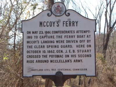
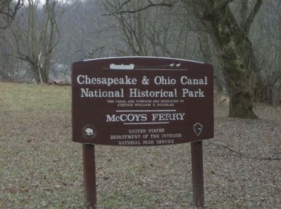
McCoy's Ferry
Erected by Maryland Civil War Centennial Commission.
Topics. This historical marker is listed in this topic list: War, US Civil. A significant historical month for this entry is May 1768.
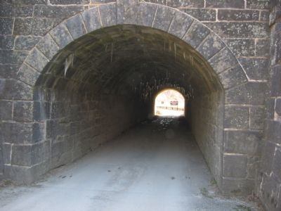
Location. 39° 36.536′ N, 77° 58.204′ W. Marker is near Clear Spring, Maryland, in Washington County. Marker is on McCoys Ferry Road, one mile south of Big Pool Road (Maryland Route 56), on the left when traveling south. Marker is on the C&O Canal towpath that McCoys Ferry Road tunnels under. Touch for map. Marker is in this post office area: Clear Spring MD 21722, United States of America. Touch for directions.
Other nearby markers. At least 8 other markers are within 2 miles of this marker, measured as the crow flies. Lancelot Jacques (approx. one mile away); Mule Power (approx. 1.2 miles away); Four Locks (approx. 1.2 miles away); a different marker also named Four Locks (approx. 1.2 miles away); Fort Frederick (approx. 1.8 miles away); Fort Frederick Officers’ Quarters (approx. 1.8 miles away); Nathan Williams (approx. 1.9 miles away); a different marker also named Fort Frederick (approx. 1.9 miles away).
Credits. This page was last revised on June 16, 2016. It was originally submitted on December 1, 2007, by F. Robby of Baltimore, Maryland. This page has been viewed 2,259 times since then and 46 times this year. Photos: 1, 2. submitted on December 1, 2007, by F. Robby of Baltimore, Maryland. 3. submitted on December 2, 2007, by F. Robby of Baltimore, Maryland. 4. submitted on January 13, 2009, by Robert H. Moore, II of Winchester, Virginia.


