Morris Fork in Breathitt County, Kentucky — The American South (East South Central)
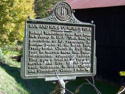
Sam and Nola of Morris Fork
Erected 1989 by Kentucky Historical Society and Kentucky Department of Highways. (Marker Number 1289.)
Topics and series. This historical marker is listed in these topic lists: Churches & Religion • Science & Medicine • Settlements & Settlers. In addition, it is included in the Kentucky Historical Society series list. A significant historical year for this entry is 1923.
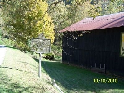
Location. 37° 23.326′ N, 83° 30.374′ W. Marker is in Morris Fork, Kentucky, in Breathitt County. Marker is at the intersection of Kentucky Route 28 and Ingol Fory Road, on the right when traveling east on State Route 28. Touch for map. Marker is in this post office area: Booneville KY 41314, United States of America. Touch for directions.
Other nearby markers. At least 8 other markers are within 14 miles of this marker, measured as the crow flies. Murdoch of Buckhorn (approx. 3.3 miles away); Civil War Actions (approx. 11.1 miles away); A Masterful Retreat (approx. 11.1 miles away); County Named, 1843 (approx. 11.1 miles away); Owsley County Veterans Memorial (approx. 11.1 miles away); Boone’s Station (approx. 11.1 miles away); Oneida Baptist Institute (approx. 11.4 miles away); Broken Column (approx. 13.2 miles away).
Credits. This page was last revised on November 19, 2019. It was originally submitted on December 19, 2010. This page has been viewed 1,166 times since then and 35 times this year. Photos: 1, 2. submitted on December 19, 2010. • Bill Pfingsten was the editor who published this page.

