Mount Pleasant in Charleston County, South Carolina — The American South (South Atlantic)
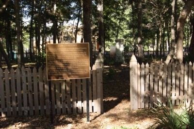
I'on Cemetery
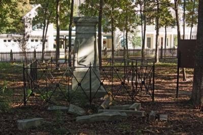
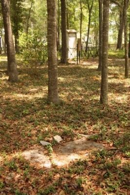
Only fragments of the old gravestones remain. It is likely that the cemetery was first used in 1713 to bury David Maybank, the original settler of these lands, and his wife Susannah in 1716. However, the earliest known burial was in 1746.
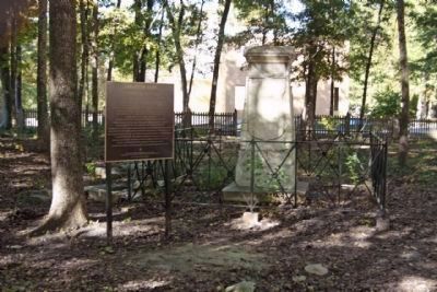
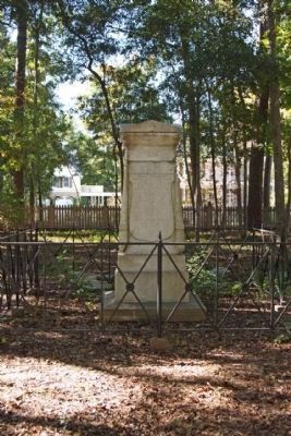
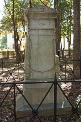
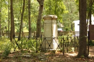
The large obelisk monument was erected in 1854 by Jacob Bond I'On, the great-great- grandson of David Maybank. The monument marks a trend in Victorian times to erect large memorials to honor the departed. This monument pays homeage to various members of the Maybank, Bond, Read, and 'Ion[sic] families.
Over the years, the cemetery has suffered greatly from weather and vandalism. The I'On Company restored the monument in 1996. The wrought iron fence and perimeter fence were erected in 2005.
Erected 2007 by The I'On Company.
Topics. This historical marker is listed in this topic list: Cemeteries & Burial Sites. A significant historical year for this entry is 1713.
Location. 32° 49.232′ N, 79° 53.033′ W. Marker is in Mount Pleasant, South Carolina, in Charleston County. Marker can be reached from Robert Mills Circle near Edenton Road, in the median. Touch for map. Marker is in this post office area: Mount Pleasant SC 29464, United States of America. Touch for directions.
Other nearby markers. At least 8 other markers are within 2 miles of this marker, measured as the crow flies. Shipyard Road / Shelmore Boulevard (approx. ¼ mile away); Hobcaw Shipyards (approx. 0.3 miles away); Maybank Green / Hobcaw Plantation (approx. 0.3 miles away); Hobcaw Point Powder Magazine (approx. half a mile away); Jacob Bond I'On (approx. 0.7 miles away); Scanlonville (approx. ¾ mile away); Greenhill Community / Greenhill Farming (approx. one mile away); Riverside Beach / White's Paridise (approx. 1.4 miles away). Touch for a list and map of all markers in Mount Pleasant.
Related marker. Click here for another marker that is related to this marker. the relationship, study marker Maybank Green / Hobcaw Plantation

Photographed By Mike Stroud, 2010
5. I'on Cemetery Marker
East face:
This Family
Emigrated to this state early in its settlement, and have taken an active part In its public concerns, civil and military, serving their country with ready zeal and sustaining the character of virtue and honor through their several generations. devotion to God and his blessed son and love of country, characterize this family, support of order, law and virtue. Deeply influenced their actions, and constituted a good example to the public mind. This Monument
is erected by a grateful, and loving descendant in the year 1851.
Credits. This page was last revised on June 16, 2016. It was originally submitted on December 24, 2010, by Mike Stroud of Bluffton, South Carolina. This page has been viewed 944 times since then and 55 times this year. Photos: 1, 2, 3, 4, 5, 6, 7. submitted on December 26, 2010, by Mike Stroud of Bluffton, South Carolina. 8. submitted on November 22, 2011, by Mike Stroud of Bluffton, South Carolina. 9. submitted on January 8, 2013, by Mike Stroud of Bluffton, South Carolina.

