Golden in Jefferson County, Colorado — The American Mountains (Southwest)
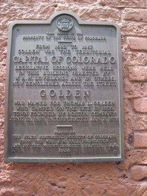
Territorial Capital of Colorado
1862 to 1867
property of the State of Colorado
————
From 1862 to 1867
Golden was the Territorial
Capital of Colorado
Erected 1936 by State Historical Society of Colorado, Mrs. J.N. Hall Foundation and the Mount Lookout Chapter, D.A.R.
Topics and series. This historical marker is listed in these topic lists: Government & Politics • Notable Buildings. In addition, it is included in the Daughters of the American Revolution series list. A significant historical date for this entry is June 12, 1937.
Location. 39° 45.324′ N, 105° 13.296′ W. Marker is in Golden, Colorado, in Jefferson County. Marker is on Washington Avenue just north of 12th street. Touch for map. Marker is at or near this postal address: 1122 Washington Avenue, Golden CO 80401, United States of America. Touch for directions.
Other nearby markers. At least 8 other markers are within walking distance of this marker. 1115 Washington Avenue (within shouting distance of this marker); Jolly Rancher 1113 Washington Avenue (within shouting distance of this marker); 1211 Washington Avenue (within shouting distance of this marker); The Astor House (within shouting distance of this marker); Clear Creek (about 500 feet away, measured in a direct line); 922 Washington Avenue (about 500 feet away); Ferrell/Berthoud Home (Miners Hotel) (about 500 feet away); Winter Wind on the Mesa (about 500 feet away). Touch for a list and map of all markers in Golden.
Regarding Territorial Capital of Colorado. yes the photo is mine
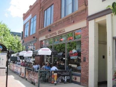
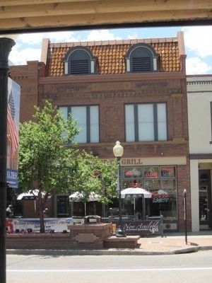
Also see . . . The Capital Grill 2005 Fire. A fire that broke out around 3:30 p.m. Nov. 3 in the building that houses the Old Capitol Grill restaurant heavily damaged the building, but the historic structure appears to remain mostly intact. (Submitted on January 1, 2011.)
Credits. This page was last revised on October 29, 2020. It was originally submitted on December 28, 2010, by Bob (peach) Weber of Dewey, Arizona. This page has been viewed 1,004 times since then and 13 times this year. Photos: 1, 2, 3. submitted on December 28, 2010, by Bob (peach) Weber of Dewey, Arizona. • Syd Whittle was the editor who published this page.


