Near Salome in La Paz County, Arizona — The American Mountains (Southwest)
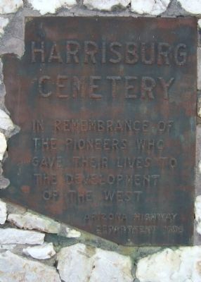
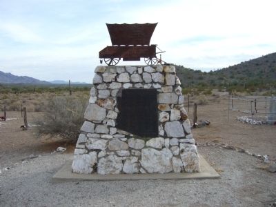
Harrisburg Cemetery
Erected 1936 by Arizona Highway Department.
Topics. This historical marker is listed in this topic list: Cemeteries & Burial Sites.
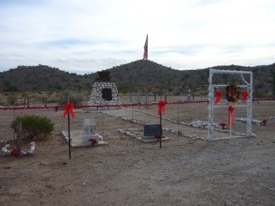
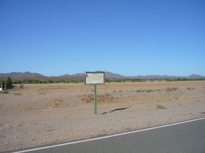
Location. 33° 44.05′ N, 113° 32.5′ W. Marker is near Salome, Arizona, in La Paz County. Marker can be reached from Salome Road, 5.2 miles south of U.S. 60. Marker is 650 yards directly south of the Harrisburg Marker, and the flag pole can be seen from Salome Road. I parked 250 yards southeast of the Harrisburg marker along Salome Road and hiked south on an old dirt road, through the normally dry Centennial Wash, using my GPS for navigation. Touch for map. Marker is in this post office area: Salome AZ 85348, United States of America. Touch for directions.
Other nearby markers. At least 3 other markers are within 6 miles of this marker, measured as the crow flies. Harrisburg (approx. 0.4 miles away); McMullen Valley 9/11 Memorial (approx. 5.3 miles away); Salome (approx. 5.4 miles away).
Regarding Harrisburg Cemetery. In 1849, a group of pioneers heading for California were attacked by Indians. Several months later a party of gold seekers found their bones and buried them on the Harrisburg Cemetery knoll.
Credits. This page was last revised on June 16, 2016. It was originally submitted on January 2, 2011, by Bill Kirchner of Tucson, Arizona. This page has been viewed 1,132 times since then and 59 times this year. Photos: 1, 2, 3, 4. submitted on January 2, 2011, by Bill Kirchner of Tucson, Arizona. • Syd Whittle was the editor who published this page.


