Goodsprings in Clark County, Nevada — The American Mountains (Southwest)
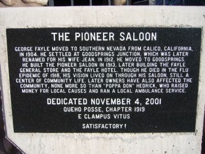
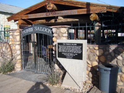
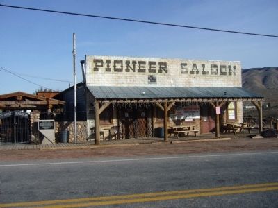
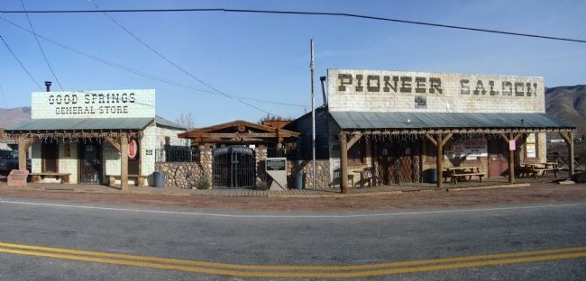
The Pioneer Saloon
Erected 2001 by Queho Posse, Chapter 1919, E Clampus Vitus.
Topics and series. This historical marker is listed in these topic lists: Industry & Commerce • Settlements & Settlers. In addition, it is included in the E Clampus Vitus series list. A significant historical year for this entry is 1904.
Location. 35° 49.945′ N, 115° 25.92′ W. Marker is in Goodsprings, Nevada, in Clark County. Marker is on Spring Street (Nevada Route 161) 0.1 miles east of Vegas Street, on the left when traveling east. Touch for map. Marker is in this post office area: Jean NV 89019, United States of America. Touch for directions.
Other nearby markers. At least 8 other markers are within 10 miles of this marker, measured as the crow flies. Goodsprings Mining District 1856 - 1957 (about 700 feet away, measured in a direct line); Good's Spring (approx. 0.2 miles away); Jean, Nevada (approx. 7 miles away); The Arrowhead Trail Highway (approx. 7 miles away); The Yellow Pine Mining Company Railroad (approx. 7 miles away); The Last Spike (approx. 8.1 miles away); a different marker also named The Last Spike (approx. 8.9 miles away); Sandy Valley (approx. 9.9 miles away). Touch for a list and map of all markers in Goodsprings.
Credits. This page was last revised on June 16, 2016. It was originally submitted on January 5, 2011, by Bill Kirchner of Tucson, Arizona. This page has been viewed 1,162 times since then and 28 times this year. Photos: 1, 2, 3, 4. submitted on January 5, 2011, by Bill Kirchner of Tucson, Arizona. • Syd Whittle was the editor who published this page.


