Lake Lure in Rutherford County, North Carolina — The American South (South Atlantic)
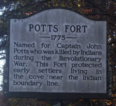
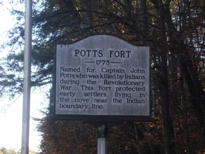
Potts Fort
1775
Topics and series. This historical marker is listed in these topic lists: Forts and Castles • Native Americans • War, US Revolutionary. In addition, it is included in the North Carolina Division of Archives and History series list.
Location. 35° 29.659′ N, 82° 6.853′ W. Marker is in Lake Lure, North Carolina, in Rutherford County. Marker is at the intersection of Bills Creek Road and Landing Lane on Bills Creek Road. Touch for map. Marker is in this post office area: Lake Lure NC 28746, United States of America. Touch for directions.
Other nearby markers. At least 8 other markers are within 9 miles of this marker, measured as the crow flies. Ayr (approx. 3˝ miles away); The 1927 Lake Lure Inn (approx. 7.9 miles away); Hickory Nut Gorge (approx. 8.2 miles away); Barbara T. Meliski Park (approx. 8.4 miles away); Chimney Rock (approx. 8.4 miles away); The Legacy of Chimney Rock Park (approx. 8.8 miles away); A Real Workhorse (approx. 8.8 miles away); In Commemoration (approx. 8.8 miles away). Touch for a list and map of all markers in Lake Lure.
Credits. This page was last revised on July 2, 2021. It was originally submitted on January 15, 2011, by Stanley and Terrie Howard of Greer, South Carolina. This page has been viewed 2,198 times since then and 71 times this year. Photos: 1, 2. submitted on January 15, 2011, by Stanley and Terrie Howard of Greer, South Carolina. • Bill Pfingsten was the editor who published this page.

