Stafford in Stafford County, Virginia — The American South (Mid-Atlantic)
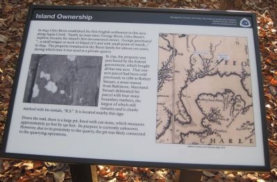
Island Ownership
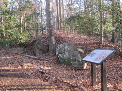
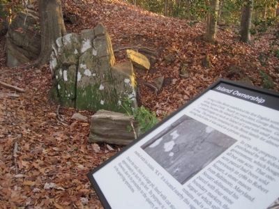
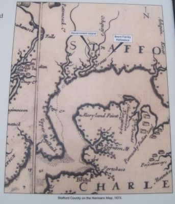
In 1791, the property was purchased by the federal government, which bought all but one acre. Tha one-acre panel had been sold previously in 1786 to Robert Steuart, a stone mason from Baltimore, Maryland. Steuart delineated his parcel with four stone boundary markers, the largest of which still remains and is clearly marked with his initials, “R.S.” It is located nearby this sign.
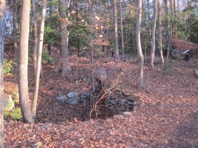
Down the trail there is a large pit, lined with cut stone, which measures approximately 50 feet by 150 feet. Its purpose is currently unknown. However, due to its proximity to the quarry, the pit was likely connected to the quarrying operations.
Erected by Tourism and Parks, Recreation & Community Facilities, Stafford County, Virginia.
Topics. This historical marker is listed in this topic list: Industry & Commerce. A significant historical year for this entry is 1647.
Location. 38° 27.006′ N, 77° 22.855′ W. Marker is in Stafford, Virginia, in Stafford County. Marker can be reached from Coal Landing Road (County Road 631). Marker is along a scenic trail, with parking available off Coal Landing Road. Touch for map. Marker is in this post office area: Stafford VA 22554, United States of America. Touch for directions.
Other nearby markers. At least 8 other markers are within 2 miles of this marker, measured as the crow flies. Quarrying the Stone (within shouting distance of this marker); Site Selection / Architectural Features (within shouting distance of this marker); Transporting the Stone (about 400 feet away, measured in a direct line); Native American Presence (about 600 feet away); Government Island (approx. 0.4 miles away); a different marker also named Government Island (approx. 0.4 miles away); Mary Kittamaquund (approx. 1.2 miles away); Peyton’s Ordinary (approx. 1.3 miles away). Touch for a list and map of all markers in Stafford.
More about this marker. This marker is part of the Potomac Heritage National Scenic Trail.
Credits. This page was last revised on June 16, 2016. It was originally submitted on January 17, 2011, by Kevin W. of Stafford, Virginia. This page has been viewed 731 times since then and 16 times this year. Photos: 1, 2, 3, 4, 5. submitted on January 17, 2011, by Kevin W. of Stafford, Virginia.
