Near Fort Supply in Woodward County, Oklahoma — The American South (West South Central)
Camp Supply
Near here North
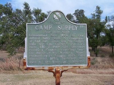
1. Camp Supply Marker
Erected by Oklahoma Historical Society and State Highway Commission.
Topics and series. This historical marker is listed in this topic list: Forts and Castles. In addition, it is included in the Oklahoma Historical Society series list. A significant historical year for this entry is 1868.
Location. 36° 34.055′ N, 99° 33.227′ W. Marker is near Fort Supply, Oklahoma, in Woodward County. It is on Highway 3 / Highway 412 east of Reservation Avenue, on the right when traveling west. Touch for map. Marker is in this post office area: Fort Supply OK 73841, United States of America. Touch for directions.

Regionally, this marker is in the American South, specifically on the prairies, and on the Southern Plains. Globally, it is in North America, the Western Hemisphere, the Western World, and the Anglosphere.
this page online
Other nearby markers. At least 7 other markers are within 14 miles of this marker, measured as the crow flies: The Cooper Site (approx. half a mile away); Historic Fort Supply Cemetery (approx. half a mile away); Military Road Crossing (approx. 2.2 miles away); Crossing (approx. 12½ miles away); Temple Lea Houston (approx. 12.8 miles away); Military Chapel (approx. 12.9 miles away); Western Cattle Trail (approx. 13.7 miles away).
Photographed by James Hulse, September 10, 2021
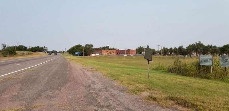
2. The view of the Camp Supply Marker from the street
Credits. This page was last revised on September 11, 2021. It was originally submitted on January 19, 2011, by Christopher Suttle of Norman, Oklahoma. This page has been viewed 1,466 times since then and 43 times this year. Photos: 1. submitted on January 19, 2011, by Christopher Suttle of Norman, Oklahoma. 2. submitted on September 11, 2021, by James Hulse of Medina, Texas. • Bill Pfingsten was the editor who published this page.
