Rough and Ready in Nevada County, California — The American West (Pacific Coastal)
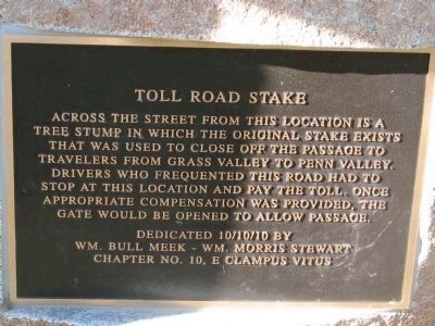
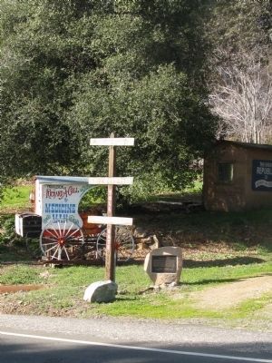
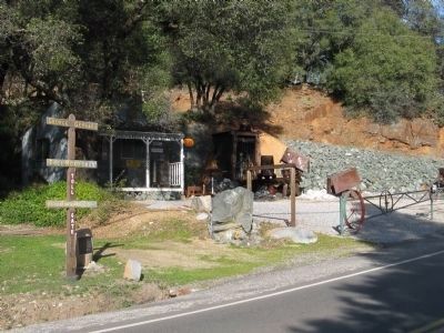
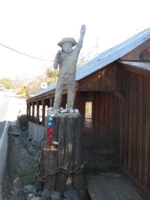
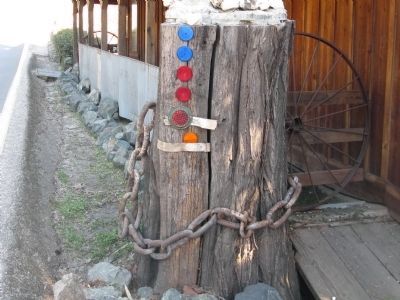
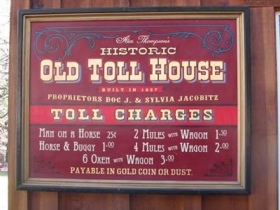
Toll Road Stake
Erected 2010 by Wm. Bull Meek - Wm. Morris Stewart Chapter No. 10, E Clampus Vitus.
Topics and series. This historical marker is listed in this topic list: Roads & Vehicles. In addition, it is included in the E Clampus Vitus series list.
Location. 39° 13.807′ N, 121° 8.188′ W. Marker is in Rough and Ready, California, in Nevada County. Marker is on Rough and Ready Highway, on the right when traveling west. Touch for map. Marker is at or near this postal address: 14365 Rough and Ready Highway, Rough and Ready CA 95975, United States of America. Touch for directions.
Other nearby markers. At least 8 other markers are within 4 miles of this marker, measured as the crow flies. Rough and Ready Toll House (a few steps from this marker); The China Wall (within shouting distance of this marker); Rowe Saw Mill (within shouting distance of this marker); Indian Grinding Rock (within shouting distance of this marker); Fippin's Blacksmith Shop (about 600 feet away, measured in a direct line); Republic of Rough and Ready (about 600 feet away); Rough and Ready (about 700 feet away); Lyman Gilmore, Jr. (approx. 3.4 miles away). Touch for a list and map of all markers in Rough and Ready.
Credits. This page was last revised on November 2, 2020. It was originally submitted on January 20, 2011, by Syd Whittle of Mesa, Arizona. This page has been viewed 667 times since then and 12 times this year. Photos: 1, 2, 3, 4, 5, 6. submitted on January 20, 2011, by Syd Whittle of Mesa, Arizona.
