Smartsville in Yuba County, California — The American West (Pacific Coastal)
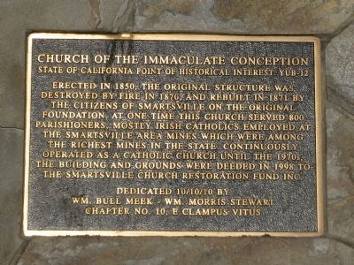
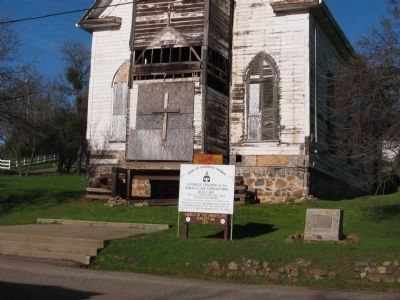
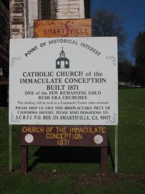
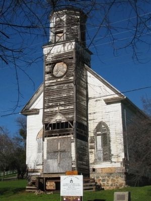
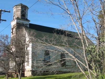
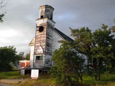
Church of the Immaculate Conception
State of California Point of Historical Interest: YUB-12
— California Historical Landmark No. 321 —
Erected 2010 by Wm. Bull Meek-Wm. Morris Stewart, Chapter 10, E Clampus Vitus. (Marker Number YUB-12.)
Topics and series. This historical marker is listed in this topic list: Churches & Religion. In addition, it is included in the California Historical Landmarks, and the E Clampus Vitus series lists. A significant historical year for this entry is 1850.
Location. 39° 12.45′ N, 121° 17.85′ W. Marker is in Smartsville, California, in Yuba County. Marker is on Smartville Road, 0.6 miles north of California Highway 20, on the right when traveling west. Touch for map. Marker is at or near this postal address: 8444 Smartville Road, Smartsville CA 95977, United States of America. Touch for directions.
Other nearby markers. At least 8 other markers are within 5 miles of this marker, measured as the crow flies. Edward James McGanney (within shouting distance of this marker); Smartville / Smartsville (within shouting distance of this marker); Smartsville Grocery (within shouting distance of this marker); Sucker Flat (approx. 0.3 miles away); Mooney Flat Hotel (approx. 1.4 miles away); The Yuba River Bridge at Parks Bar (approx. 2.1 miles away); Anthony House and Ranch (approx. 4.7 miles away); Jacob Van Blaren (approx. 4.9 miles away). Touch for a list and map of all markers in Smartsville.
Regarding Church of the Immaculate Conception. In 1939, Smartsville was designated California Historical Landmark No. 321 - “The first building at Smartsville (the post office is called Smartville) was built in the spring of 1856 by a Mr. Smart. The Church of the Immaculate Conception (organized in 1852 in Rose's Bar) was built in 1861, and in 1863 the Union Church was erected. One of the prominent features of the landscape of the town today is its churches.“
Additional keywords. California Historical Landmark No 321
Credits. This page was last revised on January 28, 2024. It was originally submitted on January 21, 2011, by Syd Whittle of Mesa, Arizona. This page has been viewed 1,078 times since then and 41 times this year. Photos: 1, 2, 3, 4, 5. submitted on January 21, 2011, by Syd Whittle of Mesa, Arizona. 6. submitted on January 24, 2011.
