Fort Knox in Hardin County, Kentucky — The American South (East South Central)
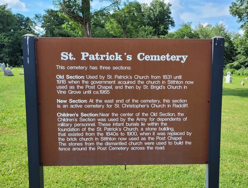
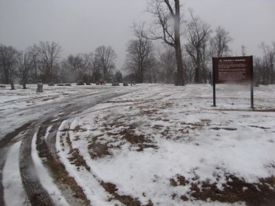
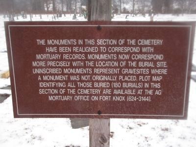
St. Patrick's Cemetery
This cemetery has three sections:
Old Section: Used by St. Patrick's Church from 1831 until 1918 when the government acquired the church in Stithton now used as the Post Chapel, and then by St. Brigid's Church in Vine Grove until ca.1965
New Section: At the east end of the cemetery, this section is an active cemetery for St. Christopher's Church in Radcliff.
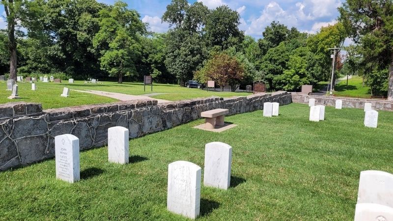
Children's Section: Near the center of the Old Section, the Children's Section was used by the Army for dependents of military personnel. These infant burials lie within the foundation of the St. Patrick's Church, a stone building, that existed from the 1840's to 1900, when it was replaced by the brick church in Stithton now used as the Post Chapel. The stones from the dismantled church were used to build the fence around the Post Cemetery across the road.
Erected by USA Armor Center.
Topics. This historical marker is listed in these topic lists: Cemeteries & Burial Sites • Churches & Religion • Forts and Castles. A significant historical year for this entry is 1831.
Location. 37° 53.606′ N, 85° 58.066′ W. Marker is in Fort Knox, Kentucky, in Hardin County. Marker is on 701st Tank Destroyer Battalion Road, ¼ mile west of Park Road, on the left when traveling west. Touch for map. Marker is in this post office area: Fort Knox KY 40121, United States of America. Touch for directions.
Other nearby markers. At least 8 other markers are within walking distance of this marker. Post Cemetery (a few steps from this marker); Dedicated to The Sacred Memory of the 6th U.S. Cavalrymen (approx. half a mile away); Units Within Armor Memorial Park (approx. half a mile away); Armor Memorial Park (approx. half a mile away); Armor in Vietnam (approx. half a mile away); World War II Barracks Exhibit (approx. half a mile away); Visitor's House (approx. 0.6 miles away); Stithton, Kentucky (approx. 0.6 miles away). Touch for a list and map of all markers in Fort Knox.
Related markers. Click here for a list of markers that are related to this marker.
Credits. This page was last revised on August 20, 2022. It was originally submitted on January 28, 2011, by Lee Hattabaugh of Capshaw, Alabama. This page has been viewed 1,151 times since then and 50 times this year. Photos: 1. submitted on August 20, 2022, by James Hulse of Medina, Texas. 2. submitted on January 28, 2011, by Lee Hattabaugh of Capshaw, Alabama. 3. submitted on August 20, 2022, by James Hulse of Medina, Texas. 4, 5, 6, 7, 8. submitted on January 28, 2011, by Lee Hattabaugh of Capshaw, Alabama. • Syd Whittle was the editor who published this page.
