Near Sonora in Hardin County, Kentucky — The American South (East South Central)
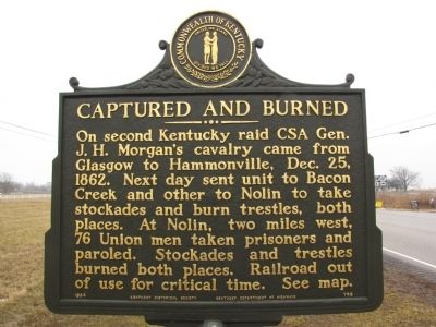
Captured and Burned
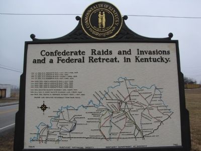
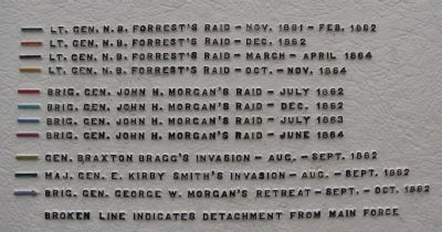
Confederate Raids and Invasions and a Federal Retreat, in Kentucky
Erected 1964 by Kentucky Historical Society / Kentucky Department of Highways. (Marker Number 748.)
Topics and series. This historical marker is listed in these topic lists: Railroads & Streetcars • War, US Civil. In addition, it is included in the Kentucky - Confederate Raids and Invasions, and a Federal Retreat, and the Kentucky Historical Society series lists. A significant historical date for this entry is December 25, 1998.
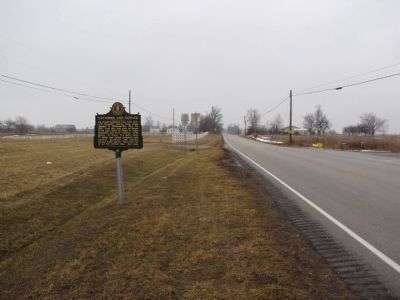
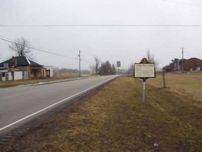
Location. 37° 33.193′ N, 85° 52.15′ W. Marker is near Sonora, Kentucky, in Hardin County. Marker is at the intersection of South Dixie Avenue (U.S. 31W) and Nolin Road (County Road 1407), on the left when traveling south on South Dixie Avenue. Touch for map. Marker is at or near this postal address: 14 Nolin Road, Sonora KY 42776, United States of America. Touch for directions.
Other nearby markers. At least 8 other markers are within 8 miles of this marker, measured as the crow flies. Warren Cash (1760-1850) (approx. 3.3 miles away); Two Miles South of this town Abraham Lincoln was born ... (approx. 7.2 miles away); Lincoln and Hodgen's Mill (approx. 7.2 miles away); Abraham Lincoln - As - A - Boy Statue (approx. 7.2 miles away); Larue County / County Officials --- 1843 (approx. 7.2 miles away); Courthouse Burned (approx. 7.2 miles away); Hodgenville (approx. 7.2 miles away); An Idyllic Frontier Scene (approx. 7.4 miles away).
Credits. This page was last revised on June 16, 2016. It was originally submitted on January 28, 2011, by Lee Hattabaugh of Capshaw, Alabama. This page has been viewed 1,092 times since then and 28 times this year. Photos: 1, 2, 3, 4, 5. submitted on January 28, 2011, by Lee Hattabaugh of Capshaw, Alabama. • Craig Swain was the editor who published this page.
