Munfordville in Hart County, Kentucky — The American South (East South Central)
A Remarkable Kentucky Family
Side 1
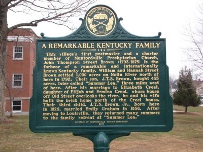
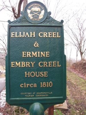
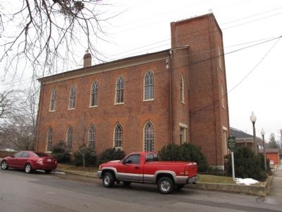
This village's first postmaster and a charter member of Munfordville Presbyterian Church, John Thompson Street Brown (1793-1875) is the forbear of a remarkable and internationally known Kentucky family. William and Hannah Street Brown settled 1,000 acres on Nolin River north of here in 1792. Their son, J.T.S. Brown, bought 435 acres, later called "Summer Lea," three miles west of here. After his marriage to Elizabeth Creel, daughter of Elijah and Ermine Creel, whose house off Old Street overlooks the river, he and his wife built the brick home north of the Creel house. Their third child, J.T.S. Brown, Jr., born here in 1829, married Emily Graham in 1856. After moving to Louisville, they returned many summers to the family retreat at "Summer Lea."
Side 2
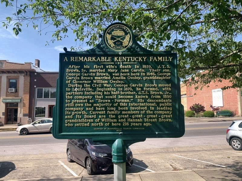
After his first wife’s death in 1839, J.T.S. Brown, Sr. married Mary Jane Garvin. Their son, George Garvin Brown, was born here in 1846. George Garvin Brown married Amelia Owsley, granddaughter of Governor William Owsley.
During the Civil War, George Garvin Brown moved to Louisville. Beginning in 1870, he formed, with partners including his half-brother J.T.S. Brown, Jr., the company that would become known from 1890 to present as “Brown-Forman.” His descendants still own the majority of this international, public company and have long been involved in leading its growth. Current family members of the company and its board are the great-great-great-great-grandchildren of William and Hannah St., Brown, who settled north of here 216 years ago.
Erected 2008 by The Munfordville Tourism Commission.
Topics. This historical marker is listed in these topic lists: Churches & Religion • Settlements & Settlers. A significant historical year for this entry is 1792.
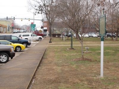
Location. 37° 16.292′ N, 85° 53.405′ W. Marker is in Munfordville, Kentucky, in Hart County. Marker is on Main Street (U.S. 31W) south of Union Street (State Road 357), on the left when traveling south. Located in front of the Hart County courthouse. Touch for map. Marker is in this post office area: Munfordville KY 42765, United States of America. Touch for directions.
Other nearby markers. At least 8 other markers are within walking distance of this marker. Hart County (a few steps from this marker); Munfordville in the Civil War (a few steps from this marker); Civil War Monument (a few steps from this marker); Remembering the Sacrifices of War (within shouting distance of this marker); Hart County One-Room Schools (within shouting distance of this marker); Hart County, 1819 (within shouting distance of this marker); Hart County War Memorial (within shouting distance of this marker); William Boone's Grave (within shouting distance of this marker). Touch for a list and map of all markers in Munfordville.
Credits. This page was last revised on April 26, 2023. It was originally submitted on January 31, 2011, by Lee Hattabaugh of Capshaw, Alabama. This page has been viewed 1,203 times since then and 55 times this year. Photos: 1. submitted on January 31, 2011, by Lee Hattabaugh of Capshaw, Alabama. 2. submitted on April 26, 2023, by Tim Fillmon of Webster, Florida. 3, 4, 5, 6, 7. submitted on January 31, 2011, by Lee Hattabaugh of Capshaw, Alabama. • Bernard Fisher was the editor who published this page.
