
Smithville in Lee County, Georgia — The American South (South Atlantic)
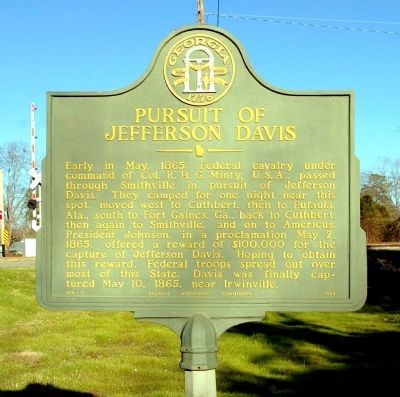
Pursuit of Jefferson Davis
Photographed by David Seibert, January 23, 2011
1. Pursuit of Jefferson Davis Marker
Early in May, 1865, Federal cavalry under command of Col. R.H.G. Minty, U.S.A., passed through Smithville in pursuit of Jefferson Davis. They camped for one night near this spot, moved west to Cuthbert, then to Eufaula, Ala., south to Fort Gaines, Ga., back to Cuthbert, then again to Smithville, and on to Americus. President Johnson, in a proclamation May 2, 1865, offered a reward of $100,000 for the capture of Jefferson Davis. Hoping to obtain this reward, Federal troops spread out over most of this State. Davis was finally captured May 10, 1865, near Irwinville.
Erected 1956 by Georgia Historical Commission. (Marker Number 088-5.)
Topics and series. This historical marker is listed in this topic list: War, US Civil. In addition, it is included in the Georgia Historical Society series list. A significant historical month for this entry is May 1865.
Location. 31° 54.001′ N, 84° 15.152′ W. Marker is in Smithville, Georgia, in Lee County. It is at the intersection of Georgia Route 118 and South Stanton Drive (U.S. 41), on the right when traveling east on Georgia Route 118. Touch for map. Marker is in this post office area:
this page online

Regionally, this marker is in Georgia’s Coastal Plain. It is also in the American South and specifically in the Deep South. Globally, it is in North America, the Western Hemisphere, the Western World, and the Anglosphere. Historically, it finds itself in what was once the territory of the Mississippian Culture, one of the original Thirteen Colonies, one of the Confederate States of America, and the Antebellum South.
Other nearby markers. At least 8 other markers are within 12 miles of this marker, measured as the crow flies: Koinonia Farm (approx. 6.2 miles away); Noted Indian Settlement (approx. 10 miles away); Georgia Southwestern State University (approx. 11 miles away); Chehaw (approx. 11.4 miles away); Federal Headquarters (approx. 11½ miles away); Calvary Episcopal Church (approx. 11.6 miles away); Rees Park (approx. 11.6 miles away); Speaker Crisp (approx. 11.7 miles away).
Photographed by David Seibert, January 23, 2011
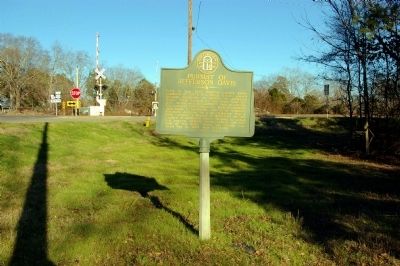
2. Pursuit of Jefferson Davis Marker
Photographed by David Seibert, January 23, 2011
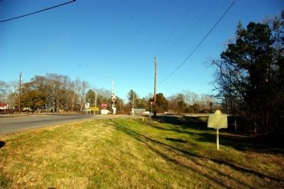
3. Pursuit of Jefferson Davis Marker
This view of the marker is looking east on Georgia Highway 118 at the intersection with U.S. Highway 41 in Smithville.
Credits. This page was last revised on June 16, 2023. It was originally submitted on February 1, 2011, by David Seibert of Sandy Springs, Georgia. This page has been viewed 1,520 times since then and 27 times this year. Photos: 1, 2, 3. submitted on February 1, 2011, by David Seibert of Sandy Springs, Georgia. • Craig Swain was the editor who published this page.
