Near Pomona in Kent County, Maryland — The American Northeast (Mid-Atlantic)
Cliffs Schoolhouse
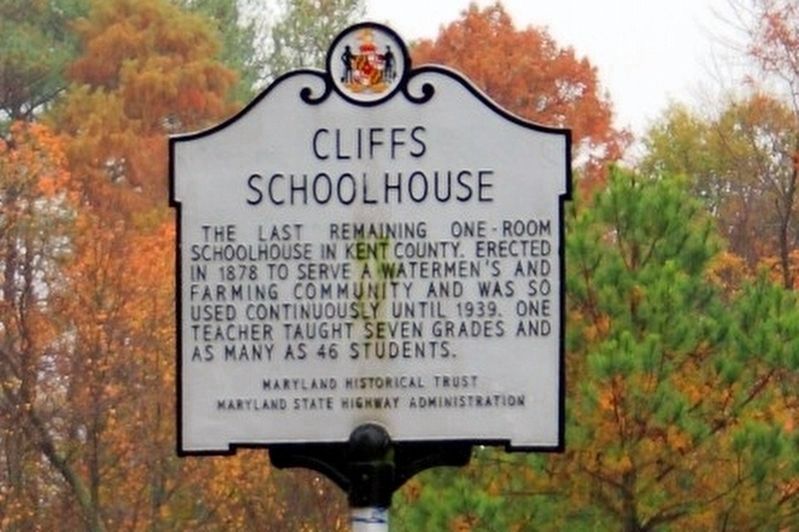
Photographed by Bob Marshall, November 12, 2009
1. Cliffs Schoolhouse Marker
Erected 2002 by Maryland Historical Trust, Maryland State Highway Administration.
Topics and series. This historical marker is listed in this topic list: Education. In addition, it is included in the Maryland Historical Trust series list. A significant historical year for this entry is 1878.
Location. 39° 7.189′ N, 76° 8.776′ W. Marker is near Pomona, Maryland, in Kent County. It is on Quaker Neck Road (Maryland Route 289) near Cliffs City Road, on the left when traveling west. Touch for map. Marker is at or near this postal address: 5169 Quaker Neck Road, Chestertown MD 21620, United States of America. Touch for directions.

Regionally, this marker is on the Eastern Shore. It is also in the American Mid-Atlantic, on the Delmarva Peninsula, in the Tidewater, in the Chesapeake Bay Region, and on the Eastern Seaboard. Globally, it is in the North Atlantic Region, North America, the Western Hemisphere,
this page online
Other nearby markers. At least 8 other markers are within 6 miles of this marker, measured as the crow flies: Martin Wagner (approx. 4.1 miles away); Veterans Memorial (approx. 4.6 miles away); Rock Hall, Maryland (approx. 4.9 miles away); Captain Lambert Wickes (approx. 4.9 miles away); a different marker also named Veterans Memorial (approx. 4.9 miles away); St. Paul's Oak Tree (approx. 5 miles away); Kent Meeting House (approx. 5 miles away); Rock Hall Landing (approx. 5.3 miles away).
Another marker is no longer nearby. Stanley B. Vansant Memorial (was approx. 4.9 miles away but has been permanently removed).
Also see . . . Cliff’s Schoolhouse, Chestertown, MD. Walker Home School blog entry (Submitted on December 2, 2025, by Larry Gertner of New York, New York.)
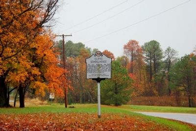
Photographed by Bob Marshall
2. Cliffs Schoolhouse Marker
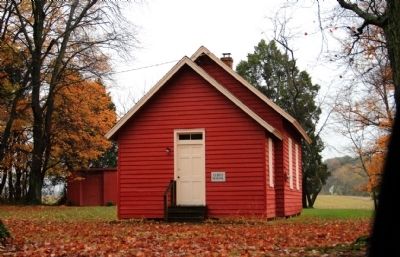
Photographed by Bob Marshall, November 12, 2009
3. Cliffs Schoolhouse
Credits. This page was last revised on December 2, 2025. It was originally submitted on February 10, 2011, by Bob Marshall of Baltimore, Maryland. This page has been viewed 900 times since then and 32 times this year. Photos: 1. submitted on December 2, 2025. 2, 3. submitted on February 10, 2011, by Bob Marshall of Baltimore, Maryland. • Syd Whittle was the editor who published this page.
