Moon Township near Coraopolis in Allegheny County, Pennsylvania — The American Northeast (Mid-Atlantic)
Mooncrest
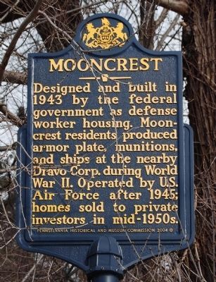
Photographed by Mike Wintermantel, February 12, 2011
1. Mooncrest Marker
Erected 2004 by Pennsylvania Historical and Museum Commission.
Topics and series. This historical marker is listed in these topic lists: Government & Politics • Industry & Commerce • War, World II. In addition, it is included in the Pennsylvania Historical and Museum Commission (PHMC) series list. A significant historical year for this entry is 1943.
Location. 40° 31.3′ N, 80° 11.467′ W. Marker is near Coraopolis, Pennsylvania, in Allegheny County. It is in Moon Township. It is at the intersection of Mooncrest Drive and Old Thorn Run Road, on the right when traveling north on Mooncrest Drive. Touch for map. Marker is in this post office area: Coraopolis PA 15108, United States of America. Touch for directions.

Regionally, this marker is in Greater Pittsburgh. It is also in the American Northeast, in the Mid-Atlantic, in the Ohio
this page online
Other nearby markers. At least 8 other markers are within 2 miles of this marker, measured as the crow flies: 899 Old Thorn Run Road (approx. 0.4 miles away); Robin Hill Park (approx. ¾ mile away); The Rudolph Family Gardens (approx. 0.8 miles away); Down The Ohio (approx. one mile away); Alumni Commons Gazebo (approx. 1.1 miles away); Capt. Frederick Way, Jr. (approx. 1.1 miles away); Old Sewickley Post Office (approx. 1.1 miles away); This Memorial is Dedicated to (approx. 1.1 miles away). Touch for a list and map of all markers in Coraopolis.
Also see . . . Behind the Marker - Mooncrest. Explore PA History website entry (Submitted on February 13, 2011, by Bernard Fisher of Richmond, Virginia.)
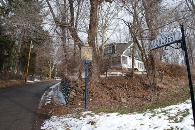
Photographed by Mike Wintermantel, February 12, 2011
2. Mooncrest Marker
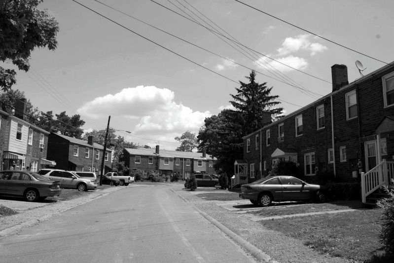
via National Register of Historic Places, unknown
3. Mooncrest Historic District
National Register of Historic Places Registration Form
Click for more information.
Click for more information.
Credits. This page was last revised on May 7, 2025. It was originally submitted on February 12, 2011, by Mike Wintermantel of Pittsburgh, Pennsylvania. This page has been viewed 1,750 times since then and 76 times this year. Photos: 1, 2. submitted on February 12, 2011, by Mike Wintermantel of Pittsburgh, Pennsylvania. 3. submitted on May 6, 2025, by Larry Gertner of New York, New York. • Bernard Fisher was the editor who published this page.
