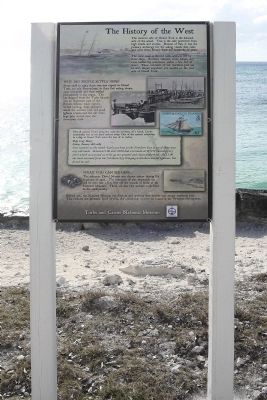
Cockburn Town in Grand Turk, Turks and Caicos Islands, British Overseas Territories — North Atlantic Ocean
The History of the West
( Grand Turk )
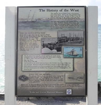
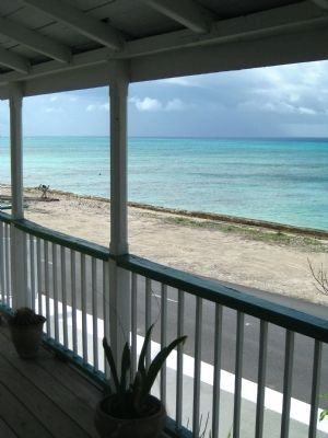
The west coast is littered with artifacts left by these ships. Anchors, cannons, stone ballast, and even bottles lay sometimes within a few feet of shore. These remnants of our maritime past can be seen almost anywhere you snorkel on the west side of Grand Turk.
Why Did People Settle Here?
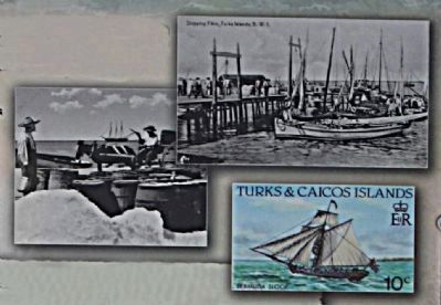
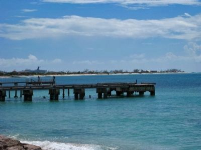
From 1678 to 1964 there was one export in Grand Turk, sea salt. Bermudians, in their first sailing sloops, came seasonally and then settled permanently in the 1790s. The salt shipped from the Turks Islands was an important part of the British Atlantic trade system. When loading, ships anchored inside the western reef and small lighters transferred the salt from huge piles stored near the downtown dock.
Not all anchors found along the coast are evidence of a wreck. Crews occasionally had to cut their anchors away. One of the earliest references to a ship at Grand Turk notes the loss of an anchor.
Ships Log: Henry
Friday, January 28th 1865
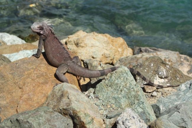
Fair weather to the north. Early our boat to the Northern Key to see if there was any salt made. Between 9:00 and 10:00 had a tornado at WNW blowing very fresh which occasioned us to let go our grapnel and chain under boat. At 11:00 the boat returned from the Northern Key bringing with them several Iguanas, but found no salt.
What You Can See Here...
The schooner David Morris was driven ashore during the hurricane in 1926. The remnants of this shipwreck can still be seen just off the seawall in front of the National Museum. There are also two anchors embedded in the coral nearby.
Behind you, the National Museum has displays and artifacts that include our unique maritime past. This includes the Molasses Reef Wreck, the oldest ship to ever to be found in the Western Hemisphere.
Erected by Turks and Caicos National Museum.
Topics. This historical marker is listed in these topic lists: Industry & Commerce • Settlements & Settlers • Waterways & Vessels. A significant historical date for this entry is January 28, 1956.
Location. 21° 28.277′ N, 71° 8.856′ W. Marker is in Cockburn Town, Turks and Caicos Islands, in Grand Turk. Marker is on Front Street close to Stonehaven Alley, on the left when traveling north. located 1 block south of Murphy Alley. Touch for map. Marker is in this post office area: Cockburn Town, Turks and Caicos Islands 00109-9000, British Overseas Territories. Touch for directions.
Other nearby markers. At least 8 other markers are within walking distance of this marker. Sunnyside (within shouting distance of this marker); Free Mason's Lodge (within shouting distance of this marker); Crofton Coverley House (about 120 meters away, measured in a direct line); Grant Building (about 120 meters away); Timco (about 120 meters away); Todds (about 150 meters away); Victoria Public Library (approx. 0.3 kilometers away); St. Mary’s Anglican Pro-Cathedral Church (approx. 0.4 kilometers away). Touch for a list and map of all markers in Cockburn Town.
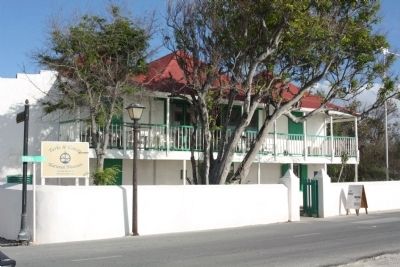
Regarding The History of the West. Cockburn Town is home to the Turks & Caicos National Museum, which is housed in the colonial-era Guinep House, on Front Street. The house is believed to be over 180 years old and much of its structural material came from local shipwrecks, including a ship's mast, which is one of the building's main supports. The site was donated to the Museum in 1990.
Among the National Museum's collections is an exhibit of shipwrecks, including the oldest known European shipwreck in the Americas, the Molasses Reef Wreck, dated 1505.
Other exhibits detail the history of the Lucayans, the Space Race, Turks and Caicos postage stamps, Slavery and the Slave Trade, the Sisal and Salt industries, Royal Events, as well as a general history of the islands. The museum also maintains a garden, which is adjacent to the Guinep House.
Also of interest are the museum's research projects, including its Message in a Bottle Project, recording nearly 40 years' worth of messages to wash upon the shores of Grand Turk.(Wikipedia)
Photographed By AGS Media
7. Columbus Landfall Marine National Park
Credits. This page was last revised on August 22, 2020. It was originally submitted on February 18, 2011, by Mike Stroud of Bluffton, South Carolina. This page has been viewed 923 times since then and 20 times this year. Photos: 1, 2, 3, 4, 5. submitted on February 18, 2011, by Mike Stroud of Bluffton, South Carolina. 6, 7. submitted on June 4, 2011, by Glenn Sheffield of Tampa, Florida.
