Nevada City in Nevada County, California — The American West (Pacific Coastal)
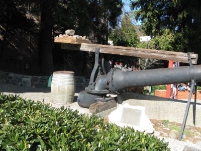
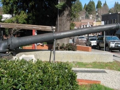
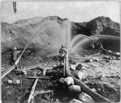
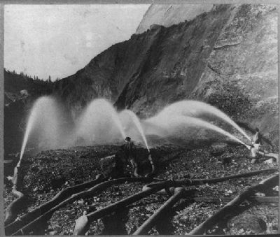
The Monitor
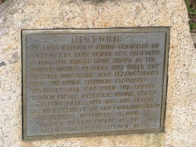
The first hydraulic mining originated on American Hill near Nevada City, California in 1853. This miners (sic) giant known as The Monitor washed hillsides away under high pressure uncovering gold bearing gravel beds. This mining technique flourished profitably until 1884 when the Sawyer decision closed hydraulic mining. Rivers were being filled with mud debris causing flooding of the rich farmlands below.
Erected 1965 by Hydraulic Parlor No. 56 Native Sons of the Golden West.
Topics. This historical marker is listed in this topic list: Industry & Commerce. A significant historical year for this entry is 1853.
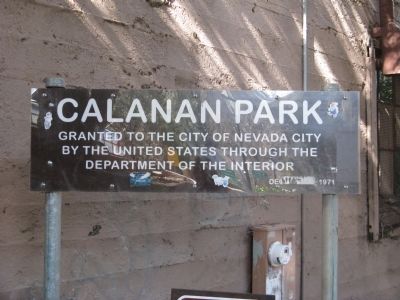
Location. 39° 15.746′ N, 121° 1.048′ W. Marker is in Nevada City, California, in Nevada County. Marker is on Broad Street near Union Alley. Marker is located at Calanan Park located across the street from the National Hotel. Touch for map. Marker is at or near this postal address: 200 Broad Street, Nevada City CA 95959, United States of America. Touch for directions.
Other nearby markers. At least 8 other markers are within walking distance of this marker. Hydraulic Gold Mining 21-Inch Gate Valve (here, next to this marker); Nevada City, The “Queen City of the Northern Mines” (a few steps from this marker); Shaft Drill Core (a few steps from this marker); The National Hotel (within shouting distance of this marker); National Exchange Hotel (within shouting distance of this marker); Ladies of the Evening (within shouting distance of this marker); Robinson Plaza (within shouting distance of this marker); Pelton Water Wheel (within shouting distance of this marker). Touch for a list and map of all markers in Nevada City.
Also see . . . Giant Gold Machines - Hydraulic Mining. Oakland Museum of California website entry:
“An ancient northern California river once laid down an immense bed of gold-bearing gravel. There had to be an easy way of getting down to the ancient streambeds now buried in the mountains. There was: hydraulic mining.” (Submitted on February 18, 2011.)
Credits. This page was last revised on October 3, 2022. It was originally submitted on February 18, 2011, by Syd Whittle of Mesa, Arizona. This page has been viewed 584 times since then and 22 times this year. Photos: 1, 2, 3, 4, 5, 6. submitted on February 18, 2011, by Syd Whittle of Mesa, Arizona.
