Near Pahreah in Kane County, Utah — The American Mountains (Southwest)
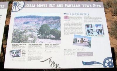
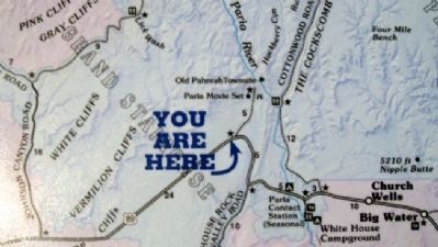
Paria Movie Set and Pahreah Town Site
Inscription.
What you can do here
Down this rough road, you'll find breathtaking scenery, a re-built movie set, picnic area and toilet. This is a great place to stretch your legs, reenact your favorite Westerns and capture the incredible rock formations on film.
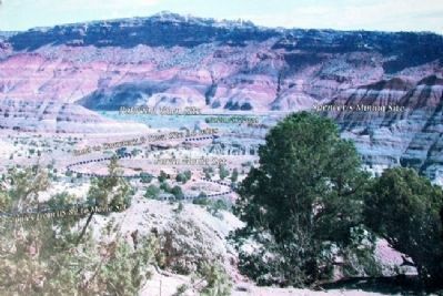
A pioneer cemetery is a short walk away, and about a mile and a half further on lie the few remains of Pahreah, a pioneer town that grew from 1870 to 1883, then faded away by the 1930s. Just downstream of the town are signs of a mining operation that never struck it rich.
The last two or three miles of this road are narrow, steep and winding. It's passable with most normal- and high-clearance vehicles except in wet weather. There is no running water, camping, food or gas down this road.
The riverbed is a closed route
The Paria River was the pioneers' travel route but they regularly lost teams and wagons to quicksand and flash floods. You can experience more of the Paria on foot or on horseback.
Real to Reel
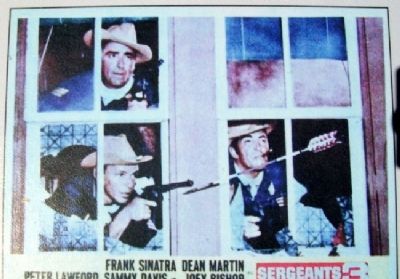
Life in towns like Pahreah was very different from what was shown in Western movies. It involved hard work in difficult conditions but few, if any, gunfights.
Westerns, on the other hand, were larger than life. A man was either good or bad and success was based on fast guns and a trusty horse.
They call the town "pah-ree-uh"
The town and river names come from Paiute words, which mean muddy water or elk river, depending on whom you ask. Originally spelled Pahreah, as recorded on Major John Wesley Powell's 1870s survey maps.
[Inset]
"My father pronounced it Pahreer. They pronounced it with an 'r' at the end."
Alta Mae Hansen, 1998
[Site visit rules are also on this marker but not transcribed; an adjacent marker with the same title but other information is also not transcribed]
Erected by Bureau of Land Management.
Topics. This historical marker is listed in these topic lists: Entertainment • Man-Made Features • Settlements & Settlers. A significant historical year for this entry is 1870.
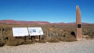
Location. 37° 11.162′ N, 111° 59.747′ W. Marker is near Pahreah, Utah, in Kane County. Marker is on U.S. 89, on the left when traveling east. Marker is at a scenic pullout, about 33 miles east of Kanab. Touch for map. Marker is in this post office area: Kanab UT 84741, United States of America. Touch for directions.
Other nearby markers. At least 2 other markers are within walking distance of this marker. Pahreah (here, next to this marker); Grand Staircase-Escalante National Monument (here, next to this marker).
Also see . . . Paria Movie Set Photos. (Submitted on February 20, 2011, by William Fischer, Jr. of Scranton, Pennsylvania.)
Credits. This page was last revised on June 16, 2016. It was originally submitted on February 20, 2011, by William Fischer, Jr. of Scranton, Pennsylvania. This page has been viewed 1,582 times since then and 52 times this year. Photos: 1, 2, 3, 4, 5. submitted on February 20, 2011, by William Fischer, Jr. of Scranton, Pennsylvania.
