Zion National Park in Washington County, Utah — The American Mountains (Southwest)
Birth of a Park
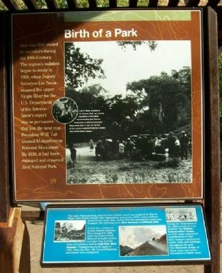
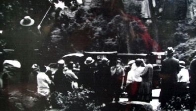
Zion was little visited by outsiders during the 19th Century. The region's isolation began to erode in 1908, when Deputy Surveyor Leo Snow mapped the upper Virgin River for the U.S. Department of the Interior. Snow's report was so persuasive that just the next year, President W.H. Taft created Mukuntuweap National Monument. By 1919, it had been enlarged and renamed Zion National Park.
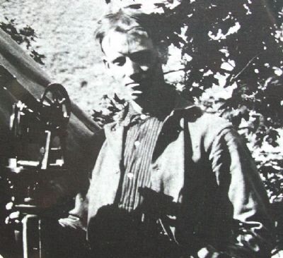
[Photo inset caption] Leo A. Snow, a native of St. George, Utah, on a survey expedition. In his report recommending that Zion be designated a national Monument, Snow wrote that "a view can be had of this canyon surpassed only by a similar view of the Grand Canyon..."
[Blue marker below]
The name Mukuntuweap, derived from a Paiute word, was assigned to Zion by Major John Wesley Powell, who explored the area in the 1870s. Local residents preferred the name Zion, and in 1918 the monument's name was changed. The following year, Zion became a national park.
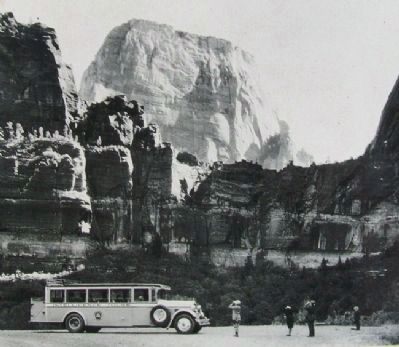
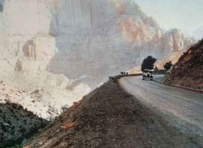
At first the remoteness of Zion limited visitation. That changed in 1923, when the Union Pacific Railroad brought service to Cedar City, and the State of Utah then built a road into Zion Canyon. Visitation increased again in 1930, when the Zion-Mt. Carmel Highway and tunnel were completed.
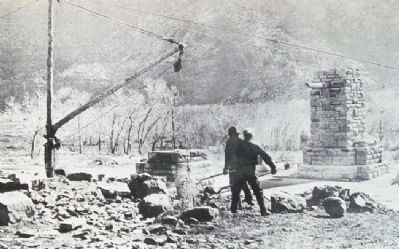
During the Depression of the 1930s a Federal work program, the Civilian Conservation Corps, or CCC, made substantial contributions to Zion. CCC workers constructed roads, trails, and buildings throughout the park. The distinctive design of these stone and timber structures is visible today.
Erected by National Park Service.
Topics and series. This historical marker is listed in this topic list: Notable Places. In addition, it is included in the Civilian Conservation Corps (CCC), and the Former U.S. Presidents: #27 William Howard Taft series lists. A significant historical year for this entry is 1908.
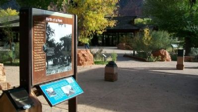
Location. 37° 12.011′ N, 112° 59.253′ W. Marker is in Zion National Park, Utah, in Washington County. Marker is under the southernmost open-sided pavilion on the plaza west adjacent to the Zion National Park Visitor Center (near the south park entrance). Touch for map. Marker is in this post office area: Springdale UT 84767, United States of America. Touch for directions.
Other nearby markers. At least 8 other markers are within 6 miles of this marker, measured as the crow flies. Promised Land (here, next to this marker); Westward Expansion (here, next to this marker); Original Inhabitants / Living Traditions (within shouting distance of this marker); Stephen Tyng Mather (approx. ¾ mile away); Discovery of Zion Canyon (approx. one mile away); Zion Mt. Carmel Tunnel and Highway, Utah
(approx. 1½ miles away); Rockville Bridge (approx. 4 miles away); Cables from the Rim (approx. 5.6 miles away). Touch for a list and map of all markers in Zion National Park.
Also see . . . Zion National Park. (Submitted on February 20, 2011, by William Fischer, Jr. of Scranton, Pennsylvania.)
Credits. This page was last revised on June 16, 2016. It was originally submitted on February 20, 2011, by William Fischer, Jr. of Scranton, Pennsylvania. This page has been viewed 659 times since then and 14 times this year. Photos: 1, 2, 3, 4, 5, 6. submitted on February 20, 2011, by William Fischer, Jr. of Scranton, Pennsylvania. 7. submitted on February 21, 2011, by William Fischer, Jr. of Scranton, Pennsylvania.
