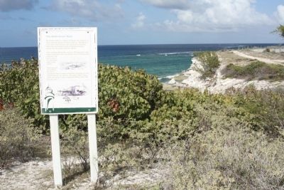
Cockburn Town in Grand Turk, Turks and Caicos Islands, British Overseas Territories — North Atlantic Ocean
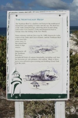
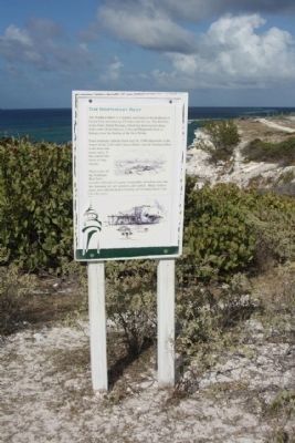
The Northeast Reef
— (Grand Turk) —
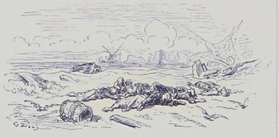
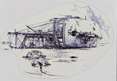
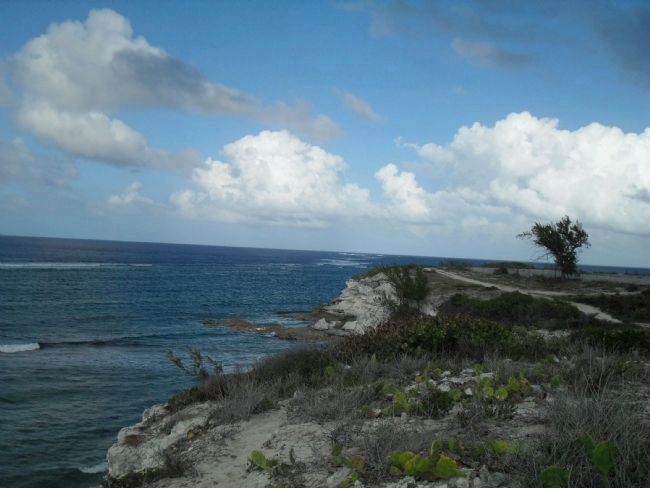
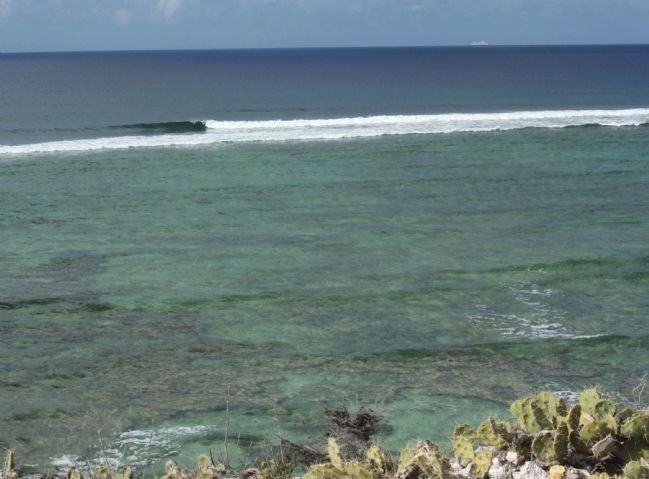
Some estimates indicate that maybe 1,000 shipwrecks in the waters of the Turks and Caicos Islands, and the Northeast Reef is the most infamous cause. It has caused hundreds of shipwrecks.
Shipwrecks off the Northeast Reef have included all kinds of cargoes imaginable, including coal, lumber, kerosene oil, salt, potatoes, and codfish. Many of these items were utilized in provisioning and building Grand Turk over the years.
Topics. This historical marker is listed in these topic lists: Industry & Commerce • Waterways & Vessels.
Location. 21° 30.722′ N, 71° 8.014′ W. Marker is in Cockburn Town, Turks and Caicos Islands, in Grand Turk. Marker is on Lighthouse Road, in the median. Located at northern terminus of Lighthouse Road at Lookout Point . Touch for map. Marker is in this post office area: Cockburn Town, Turks and Caicos Islands 00109-9000, British Overseas Territories. Touch for directions.
Other nearby markers. At least 8 other markers are within 5 kilometers of this marker, measured as the crow flies. Grand Turk: The Original Columbus Landfall ? (a few steps from this marker); Horatio Nelson Lookout Point (within shouting distance of this marker); Trouvadore Shipwreck (within shouting distance of this marker); Grand Turk Historic Lighthouse (within shouting distance of this marker); a different marker also named Grand Turk Historic Lighthouse (within shouting distance of this marker); U.S. Naval Facility (within shouting distance of this marker); Lighthouse Keeper's Residence & Bermuda Kitchen (about 90 meters away, measured in a direct line); The History of the West (approx. 4.8 kilometers away). Touch for a list and map of all markers in Cockburn Town.
Credits. This page was last revised on June 16, 2016. It was originally submitted on March 1, 2011, by Mike Stroud of Bluffton, South Carolina. This page has been viewed 896 times since then and 24 times this year. Photos: 1, 2, 3, 4, 5, 6, 7. submitted on March 1, 2011, by Mike Stroud of Bluffton, South Carolina.
