Massie's Mill in Nelson County, Virginia — The American South (Mid-Atlantic)
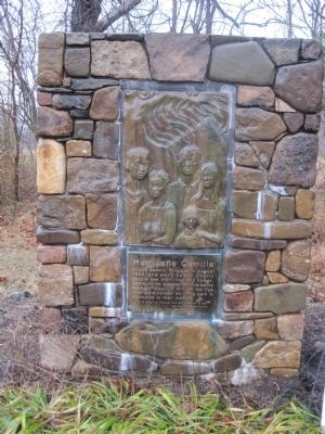
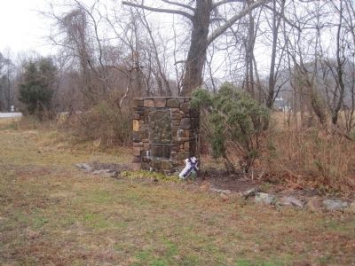
Hurricane Camille
"In a touch of Nature, the whole world is kin."
Topics. This historical marker is listed in this topic list: Disasters. A significant historical year for this entry is 1969.
Location. 37° 46.482′ N, 79° 0.185′ W. Marker is in Massie's Mill, Virginia, in Nelson County. Marker is on Crabtree Falls Highway (State Highway 56) just south of Dickie Road (State Route 666). Touch for map. Marker is in this post office area: Roseland VA 22967, United States of America. Touch for directions.
Other nearby markers. At least 8 other markers are within 7 miles of this marker, measured as the crow flies. Thomas Massie (within shouting distance of this marker); The Virginia Blue Ridge Railway (approx. 4.7 miles away); American Cyanamid (approx. 4.7 miles away); a different marker also named Hurricane Camille (approx. 4.8 miles away); Cabellsville (approx. 5.9 miles away); The Rivers (approx. 6.4 miles away); Jimmy Fortune (approx. 6˝ miles away); Earl Henry Hamner, Jr. (approx. 6˝ miles away).
Credits. This page was last revised on June 16, 2016. It was originally submitted on March 6, 2011, by Kevin W. of Stafford, Virginia. This page has been viewed 898 times since then and 21 times this year. Photos: 1, 2, 3. submitted on March 6, 2011, by Kevin W. of Stafford, Virginia.


