Near Wheatland in Yuba County, California — The American West (Pacific Coastal)
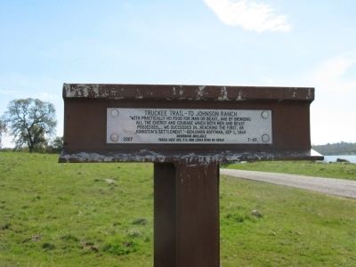
Truckee Trail – To Johnson Ranch
Erected 2007 by Trails West, Inc. (Marker Number T-69.)
Topics and series. This historical marker is listed in these topic lists: Roads & Vehicles • Settlements & Settlers. In addition, it is included in the California Trail, the Trails West Inc., and the Truckee Trail series lists. A significant historical date for this entry is September 1, 1849.
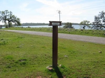
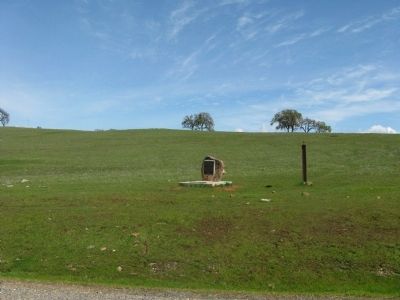
Location. 39° 3.74′ N, 121° 18.618′ W. Marker is near Wheatland, California, in Yuba County. Marker is on Camp Far West Road, on the left when traveling south. Marker is located on the North Gate road entrance to Camp Far West Lake. Touch for map. Marker is in this post office area: Wheatland CA 95692, United States of America. Touch for directions.
Other nearby markers. At least 8 other markers are within 8 miles of this marker, measured as the crow flies. The Graham Hotel (here, next to this marker); Overland Emigrant Trail (approx. 4.3 miles away); Sheridan Cemetery (approx. 6.6 miles away); Union Shed (approx. 6.7 miles away); Durst Hop Ranch (approx. 6.8 miles away); Johnson's Ranch (approx. 7 miles away); Holland House (approx. 7.1 miles away); Chinese Pyre (approx. 7.8 miles away). Touch for a list and map of all markers in Wheatland.
Regarding Truckee Trail – To Johnson Ranch. Today's Interstate 80, Donner Pass, follows much of this same route.
Johnsons Ranch was the first settlement seen by emigrants after crossing the Sierra Nevada Mountains.
Perhaps the most important thing for which the Johnson Ranch is remembered is that it was there that the five women and two men survivors of the “Forlorn Hope” group from the snowed-in Donner Party arrived (after 33 grueling days which saw 7 of their number die) on Jan. 17, 1847, seeking aid for the remainder of their ill-fated wagon train.
Also see . . . Rancho Johnson. Wikipedia entry (Submitted on January 11, 2021, by Larry Gertner of New York, New York.)
Photographed By Margaret Tomer Rummens
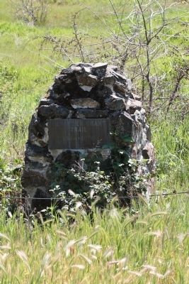
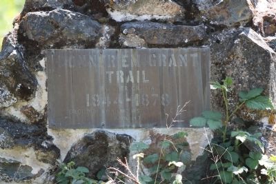
5. Donner Emigrant Trail
This marker, located on private property and not accessible by the public, is located approximately 1.25 miles east. It is located near the original Johnson’s Crossing at Bear Creek:
Donner Emigrant Trail
Bear Creek Crossing
1844 – 1878
Erected by Wheatland Historical Society
April 1972
Bear Creek Crossing
1844 – 1878
Erected by Wheatland Historical Society
April 1972
Credits. This page was last revised on January 11, 2021. It was originally submitted on March 13, 2011, by Syd Whittle of Mesa, Arizona. This page has been viewed 1,693 times since then and 59 times this year. Photos: 1, 2, 3, 4. submitted on March 14, 2011, by Syd Whittle of Mesa, Arizona. 5, 6. submitted on March 4, 2011, by Syd Whittle of Mesa, Arizona.

