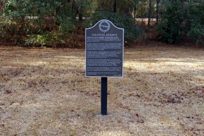
Colonial Heights
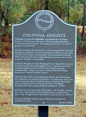
In order to begin development, it was necessary for Colonial Heights Corporation to extend Moultrie’s water system from its then City limits, 13th Avenue. With assistance from the WPA, the line was built, and eventually given to the City by Colonial Heights Corporation.
Colonial Heights extends North and South from Pine Avenue to what is now Sunset Shopping Center, and East and West from the former Coastline RR to the former Georgia Northern RR. There is an area North of Tallokas Road, known as Colonial Heights Annex.
The first lots sold were along Main Street, and subsequent development was handled in phases. To encourage sales, the corporation decided to build houses, as demand warranted. After returning from service in the Navy, son Matt Friedlander took charge of the development. (1945)
In total there are more than 340 houses. All of these, except for a few, were built by Matt Friedlander’s Construction
this page online
Colonial Heights remains one of Moultrie’s preferred residential areas.
Erected 2002 by City of Moultrie, Georgia.
Topics and series. This historical marker is listed in this topic list: Notable Places. In addition, it is included in the Works Progress Administration (WPA) projects series list. A significant historical year for this entry is 1936.
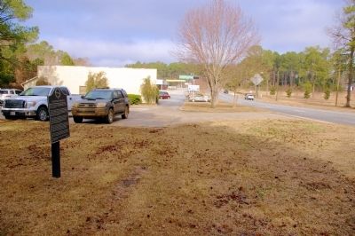
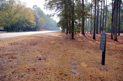
Location. 31° 8.974′ N, 83° 47.317′ W. Marker is in Moultrie, Georgia, in Colquitt County. It is on South Main Street (Georgia Route 33) 0.1 miles south of Lower Meigs Road, on the right when traveling south. The marker is in the 1900 block of South Main Street. Touch for map. Marker is in this post office area: Moultrie GA 31768, United States of America. Touch for directions.
Regionally, this marker is on the Coastal Plain. It is also in the American South, specifically in the Deep South, and in the Wiregrass. Globally, it is in North America, the Western Hemisphere, the Western World, and the Anglosphere. Historically, it finds itself in what was once the territory of the Mississippian Culture, one of the original
Other nearby markers. At least 8 other markers are within 2 miles of this marker, measured as the crow flies: Colonial Dames of America Centennial Sundial (approx. 2 miles away); Old Colquitt County Jail (approx. 2 miles away); Georgia Northern Railway Locomotive 105 (approx. 2 miles away); Friedlander's Department Store (approx. 2 miles away); Colquitt County Confederate Monument (approx. 2 miles away); Colquitt County Courthouse (approx. 2.1 miles away); Totem Pole (approx. 2.1 miles away); Magnolia Tree (approx. 2.1 miles away). Touch for a list and map of all markers in Moultrie.
Credits. This page was last revised on June 16, 2016. It was originally submitted on March 23, 2011, by David Seibert of Sandy Springs, Georgia. This page has been viewed 1,271 times since then and 46 times this year. Photos: 1, 2, 3, 4. submitted on March 23, 2011, by David Seibert of Sandy Springs, Georgia. • Bill Pfingsten was the editor who published this page.
