Near Libertyville in Lake County, Illinois — The American Midwest (Great Lakes)
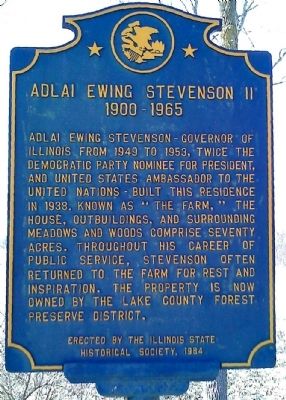
Adlai Ewing Stevenson II
1900 – 1965
Photographed by Ron Stocks, March 28, 2011
1. Adlai Ewing Stevenson II Marker
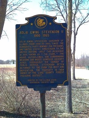
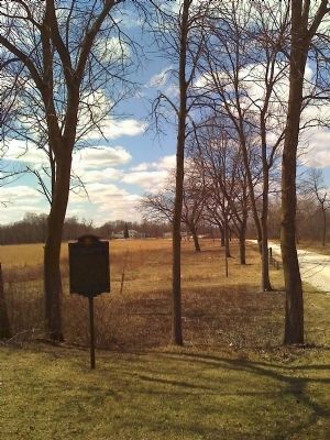
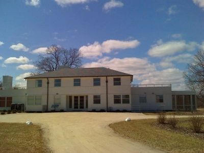
Adlai Ewing Stevenson – Governor of Illinois from 1949 to 1953, twice the Democratic Party nominee for president, and United States Ambassador to the United Nations – built this residence in 1938. Known as "The Farm," the house, outbuildings, and surrounding meadows and woods comprise seventy acres. Throughout his career of public service, Stevenson often returned to the farm for rest and inspiration. The property is now owned by the Lake County Forest Preserve District.
Erected 1984 by The Illinois State Historical Society.
Topics and series. This historical marker is listed in this topic list: Government & Politics. In addition, it is included in the Illinois State Historical Society series list. A significant historical year for this entry is 1949.
Location. 42° 13.77′ N, 87° 55.533′ W. Marker is near Libertyville, Illinois, in Lake County. It is on North Saint Mary's Road (County Route 19) half a mile north of West Everett Road (County Route 40), on the right when traveling south. Touch for map. Marker is at or near this postal address: 25200 N Saint Marys Road, Libertyville IL 60048, United States of America.
this page online

Regionally, this marker is in Greater Chicago. It is also in the American Midwest. Globally, it is in North America, on the Great Lakes, in the Western Hemisphere, in the Western World, and in the Anglosphere. Historically, it finds itself in what was once the territory of the Mississippian Culture and also the Northwest Territory.
Other nearby markers. At least 8 other markers are within 6 miles of this marker, measured as the crow flies: McKinlock Post 264 American Legion Veterans Memorial (approx. 2½ miles away); The Rondout Train Robbery (approx. 3.8 miles away); Libertyville (approx. 4.1 miles away); Libertyville Heritage Area (approx. 4.1 miles away); Cook Memorial Library (approx. 4.3 miles away); Creamery (approx. 5.1 miles away); Ritzenthaler Farmhouse (approx. 5.1 miles away); Sauer Family Residence (approx. 5.1 miles away). Touch for a list and map of all markers in Libertyville.
Also see . . .
1. Adlai E. Stevenson Historic Home. Lake County Forest Preserves website entry (Submitted on March 28, 2011, by Bill Kirchner of Tucson, Arizona.)
2. Adlai Stevenson II.
Photographed by Ron Stocks, March 28, 2011
2. Adlai Ewing Stevenson II Marker
Photographed by Ron Stocks, March 28, 2011
3. Adlai Ewing Stevenson II Marker
Photographed by Ron Stocks, March 28, 2011
4. "The Farm"
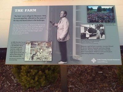
Photographed by Ron Stocks, March 28, 2011
5. Marker near entrance to "The Farm"
Photographed by Ron Stocks, March 28, 2011
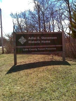
6. Sign along Saint Mary's Road at entrance to "The Farm"
Credits. This page was last revised on July 6, 2021. It was originally submitted on March 28, 2011, by Bill Kirchner of Tucson, Arizona. This page has been viewed 1,277 times since then and 31 times this year. Photos: 1, 2, 3, 4, 5, 6. submitted on March 28, 2011, by Bill Kirchner of Tucson, Arizona. • Bernard Fisher was the editor who published this page.
