Madison in Dane County, Wisconsin — The American Midwest (Great Lakes)
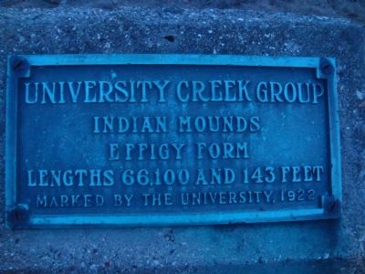
University Creek Group
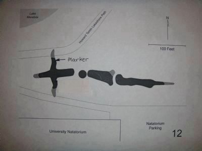
Effigy Form
Lengths 66, 100 and 143 feet
Erected 1922 by the University of Wisconsin.
Topics. This historical marker is listed in this topic list: Native Americans.
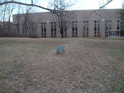
Location. 43° 4.677′ N, 89° 25.266′ W. Marker is in Madison, Wisconsin, in Dane County. Marker can be reached from Observatory Drive, 0.2 miles west of Elm Drive, on the right when traveling west. The marker is behind the Natatorium just off the Lakeshore Path. Touch for map. Marker is at or near this postal address: 2000 Observatory Drive, Madison WI 53706, United States of America. Touch for directions.
Other nearby markers. At least 8 other markers are within walking distance of this marker. Madison Park & Pleasure Drive Association (within shouting distance of this marker); University of Wisconsin Dairy Barn (approx. ¼ mile away); Understanding Immunity (approx. 0.3 miles away); Howard M. Temin (approx. 0.3 miles away); Revolutionizing Animal Reproduction (approx. 0.3 miles away); Preventing Endemic Goiter (approx. 0.3 miles away); Discovering Vitamins and Trace Minerals (approx. 0.3 miles away); Scientific Approach to Agriculture (approx. 0.4 miles away). Touch for a list and map of all markers in Madison.
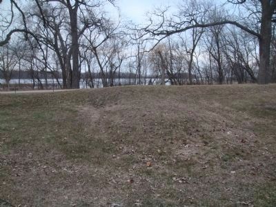
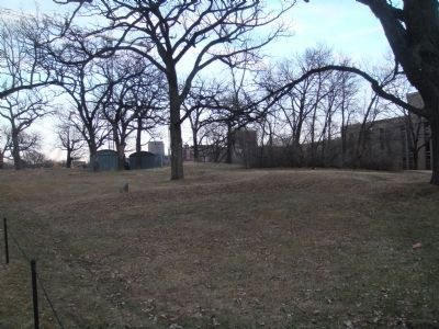
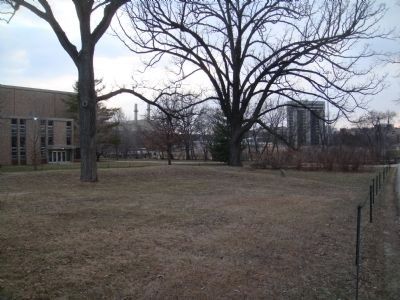
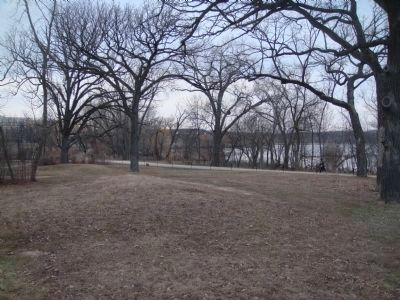
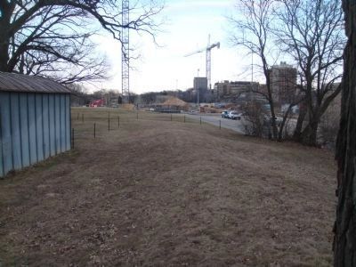
Regarding University Creek Group. According to a 1996 survey by Robert A. Birmingham and Katherine H. Rankin entitled Native American Mounds in Madison and Dane County, "On the lawn just behind the Natatorium to the north is a Late Woodland group of three mounds. The goose mound, whose head lies to the west, once had bent wings. Its tail points to three other mounds in the woods. One is a low conical mound. The other two are oddly shaped effigies called ‘problematical’ mounds. The goose mound was mutilated when the original Willow Drive was constructed. The other two mounds were damaged by farming and one was actually mined for sod in 1911. A conical mound about 1000 feet to the northeast along Willow Drive in the front yard of the Frederick Center is also considered part of this group.
"The University of Wisconsin campus was once the site of several other mound groups, including one where the Forest Products Laboratory is now, one just north of North Hall on Bascom Hill, and one on the site of Adams and Tripp residence halls."
Related marker. Click here for another marker that is related to this marker. This is a marker with links to other markers for Madison Indian mounds.
Credits. This page was last revised on June 16, 2016. It was originally submitted on March 31, 2011, by William J. Toman of Green Lake, Wisconsin. This page has been viewed 504 times since then and 13 times this year. Photos: 1, 2, 3, 4, 5, 6, 7, 8. submitted on March 31, 2011, by William J. Toman of Green Lake, Wisconsin.
