Salt Lake City in Salt Lake County, Utah — The American Mountains (Southwest)
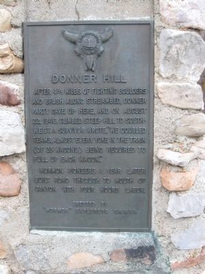
Donner Hill
Photographed by Jack Duffy, April 2, 2011
1. Donner Hill Marker
Mormon Pioneers a year later built road through to mouth of canyon with four hours labor.
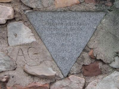
Erected 1958 by "Mormon" Explorers Y.M.M.I.A., Explorer Post 436, North 21 Ward Emigration District.
Topics. This historical marker is listed in this topic list: Exploration. A significant historical year for this entry is 1846.
Location. 40° 45.1′ N, 111° 48.05′ W. Marker is in Salt Lake City, Utah, in Salt Lake County. It is on Emigration Canyon Road / Burrs Lane. Touch for map. Marker is in this post office area: Salt Lake City UT 84108, United States of America. Touch for directions.

Regionally, this marker is in the Wasatch Front and in Greater Salt Lake. It is also in the American Mountain West and on the Colorado Plateau. Globally, it is in North America, the Rocky Mountains, the Western Hemisphere, the Western World, and the Anglosphere.
this page online
Other nearby markers. At least 8 other markers are within walking distance of this marker: Native American Village (approx. 0.6 miles away); Mary Fielding Smith Home (approx. 0.6 miles away); This Is The Place Monuments (approx. 0.7 miles away); Early Monuments (approx. 0.7 miles away); William Atkin Home (approx. 0.7 miles away); Manti Fort Gristmill (approx. 0.7 miles away); Pioneer Children’s Memorial (approx. ¾ mile away); Handcarts (approx. ¾ mile away). Touch for a list and map of all markers in Salt Lake City.
Related markers. Click here for a list of markers that are related to this marker. Donner Party departure point and site of their winter ordeal.
Photographed by Jack Duffy, April 2, 2011
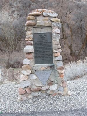
2. Donner Hill Marker
Photographed by Jack Duffy, April 2, 2011
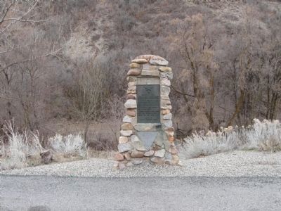
3. Donner Hill Marker
Photographed by Jack Duffy, April 2, 2011
4. Donner Hill Dedication Plaque
Explorer Post 436
North 21 Ward
Emigration
District
May
1958
M J
Credits. This page was last revised on June 16, 2016. It was originally submitted on April 2, 2011, by Jack Duffy of West Jordan, Utah. This page has been viewed 4,306 times since then and 214 times this year. Photos: 1, 2, 3, 4. submitted on April 2, 2011, by Jack Duffy of West Jordan, Utah. • Syd Whittle was the editor who published this page.
