Near Staffordsville in Giles County, Virginia — The American South (Mid-Atlantic)
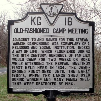
Old-Fashioned Camp Meeting
Photographed by Bernard Fisher, April 2, 2011
1. Old-Fashioned Camp Meeting Marker
Erected 1976 by Virginia Historic Landmarks Commission. (Marker Number KG-16.)
Topics and series. This historical marker is listed in this topic list: Religion & Religious Structures. In addition, it is included in the Virginia Department of Historic Resources (DHR) series list. A significant historical year for this entry is 1834.
Location. 37° 13.965′ N, 80° 43.461′ W. Marker is near Staffordsville, Virginia, in Giles County. It is on Pulaski Giles Turnpike (Virginia Route 100) 0.3 miles south of Big Rock Road ( Route 692), on the right when traveling north. Touch for map. Marker is in this post office area: Staffordsville VA 24167, United States of America. Touch for directions.

Regionally,
this page online
Other nearby markers. At least 8 other markers are within 7 miles of this marker, measured as the crow flies: Mountain Evangelist (approx. 1.1 miles away); Giles County / Pulaski County (approx. 2.3 miles away); Thomas Farley, Sr. (approx. 2.4 miles away); Battle of Cloyd’s Mountain (approx. 4.1 miles away); Est. 1767 (approx. 5.4 miles away); Giles County War Memorial (approx. 6½ miles away); Revolutionary War Soldiers (approx. 6½ miles away); Pearisburg (approx. 6½ miles away). Touch for a list and map of all markers in Staffordsville.
Photographed by Bernard Fisher, April 2, 2011
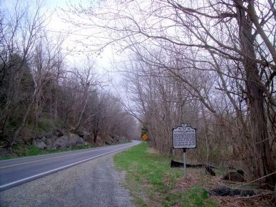
2. Pulaski Giles Turnpike (facing north)
Photographed by J. J. Prats, May 30, 2011
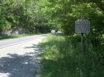
3. The Turnpike in Late Spring
Photographed by J. J. Prats, May 30, 2011
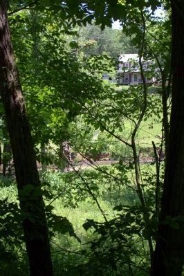
4. Wabash Creek Visible Through the Trees Roadside
Credits. This page was last revised on November 3, 2024. It was originally submitted on April 4, 2011, by Bernard Fisher of Richmond, Virginia. This page has been viewed 3,660 times since then and 221 times this year. Photos: 1, 2. submitted on April 4, 2011, by Bernard Fisher of Richmond, Virginia. 3, 4. submitted on July 5, 2011, by J. J. Prats of Powell, Ohio.
