Orland in Glenn County, California — The American West (Pacific Coastal)
Papst Flour Mill Site
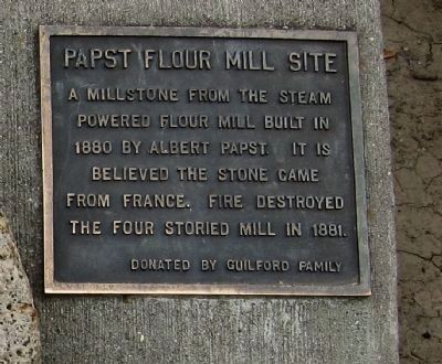
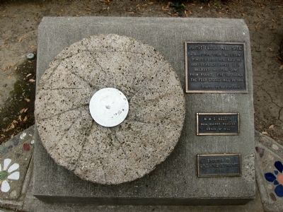
{The marker consists of 3 plaques, the first reading:}
A millstone from the steam powered flour mill built in 1880 by Albert Papst. It is believed the stone came from France. Fire destroyed the four storied mill in 1881.
Donated by the Guilford Family
{The second plaque reads:}
H.W.C. Nelson
49er, Banker, Rancher
Owner of mill
{The bottom plaque reads:}
Erected by
Orland Kiwanis
1988
Erected 1988 by Orland Kiwanis.
Topics. This historical marker is listed in this topic list: Industry & Commerce. A significant historical year for this entry is 1880.
Location. 39° 44.692′ N, 122° 11.599′ W. Marker is in Orland, California, in Glenn County. Marker is at the intersection of Mill Street and 3rd Street on Mill Street. Touch for map. Marker is at or near this postal address: 333 Mill Street, Orland CA 95963, United States of America. Touch for directions.
Other nearby markers. At least 8 other markers are within 13 miles of this marker, measured as the crow flies. Orland’s Cannons (approx. 0.4 miles away); The Swift Adobe (approx. 1.1 miles away); Pioneer Homesite (approx. 8.1 miles away); William Semple Green (approx. 8.1 miles away); Simpson Bridge Memorial (approx. 8.8 miles away); Gianella Bridge (approx. 10.7 miles away); William B. Ide’s Public Service (approx. 11.1 miles away); Maywood Woman's Clubhouse (approx. 12.6 miles away). Touch for a list and map of all markers in Orland.
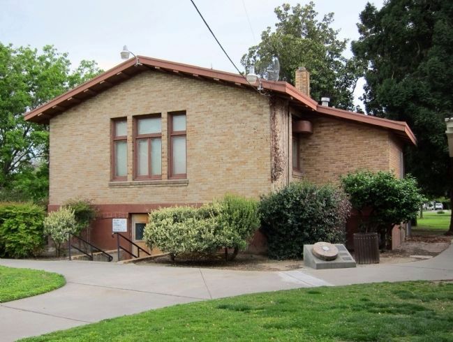
More about this marker. The marker is located between the Carnegie Community Center and the library, in Library Park.
Credits. This page was last revised on June 16, 2016. It was originally submitted on April 19, 2011, by Andrew Ruppenstein of Lamorinda, California. This page has been viewed 696 times since then and 23 times this year. Photos: 1, 2, 3. submitted on April 19, 2011, by Andrew Ruppenstein of Lamorinda, California. • Syd Whittle was the editor who published this page.


