Stroud in Lincoln County, Oklahoma — The American South (West South Central)
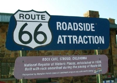
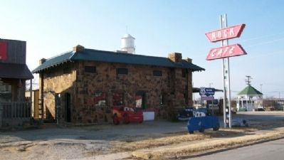
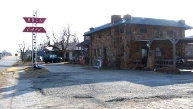
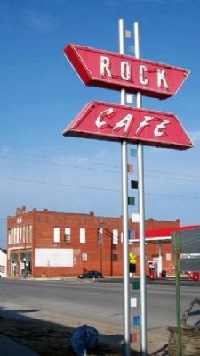
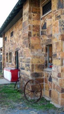
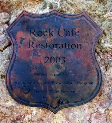
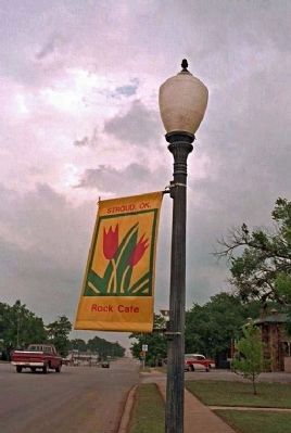
Rock Cafe, Stroud, Oklahoma
Route 66 Roadside Attraction
National Register of Historic Places, established in 1939. Built with rock unearthed during the paving of Route 66.
Erected by Hampton Hotels.
Topics and series. This historical marker is listed in this topic list: Notable Buildings. In addition, it is included in the Route 66 Roadside Attractions, and the U.S. Route 66 series lists. A significant historical year for this entry is 1939.
Location. 35° 44.937′ N, 96° 39.262′ W. Marker is in Stroud, Oklahoma, in Lincoln County. Marker is on Main Street (State Highway 66) near 2nd Avenue, on the left when traveling west. Marker is along Historic Route 66. Touch for map. Marker is at or near this postal address: 114 West Main Street, Stroud OK 74079, United States of America. Touch for directions.
Other nearby markers. At least 8 other markers are within 7 miles of this marker, measured as the crow flies. Stroud Area Veterans Monument (within shouting distance of this marker); Sac & Fox Agency (within shouting distance of this marker); William Alfred Mensch Building (about 500 feet away, measured in a direct line); Murrah Federal Building Bombing (approx. 1.9 miles away); Trooper Kenneth "Kenny" Osborn (approx. 1.9 miles away); Trooper Larry Crabtree (approx. 1.9 miles away); Turner Turnpike (approx. 1.9 miles away); Davenport / Davenport Post Office (approx. 6.9 miles away). Touch for a list and map of all markers in Stroud.
Also see . . . Rock Cafe. National Park Service website entry (Submitted on February 19, 2023, by Larry Gertner of New York, New York.)
Credits. This page was last revised on February 19, 2023. It was originally submitted on April 20, 2011, by William Fischer, Jr. of Scranton, Pennsylvania. This page has been viewed 807 times since then and 13 times this year. Photos: 1, 2, 3, 4, 5, 6. submitted on April 21, 2011, by William Fischer, Jr. of Scranton, Pennsylvania. 7. submitted on April 21, 2011, by Mike Stroud of Bluffton, South Carolina.
