Irwinton in Wilkinson County, Georgia — The American South (South Atlantic)
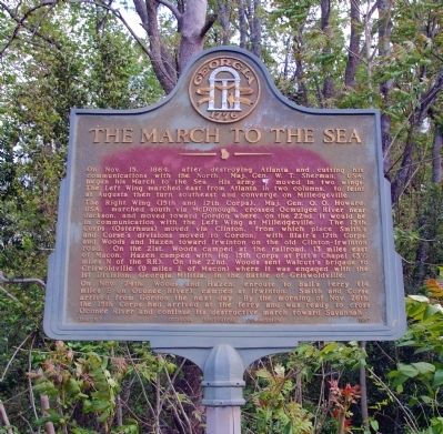
The March to the Sea
The Right Wing (15th and 17th Corps), May, Gen O. O. Howard, USA, marched south via McDonough, crossed Ocmulgee River near Jackson, and moved toward Gordon where, on the 22nd, it would be in communication with the Left Wing at Milledgeville. The 15th Corps (Osterhaus) moved via Clinton, from which place Smith’s and Corse’s divisions moved to Gordon, with Blair’s 17th Corps and Woods and Hazen toward Irwinton on the old Clinton-Irwinton road. On the 21st, Woods camped at the railroad, 13 miles east of Macon. Hazen camped with Hq. 15th Corps at Pitt's Chapel (3 1/2 miles N of the RR). On the 22nd, Woods sent Walcutt’s brigade to Griswoldville (9 miles east of Macon) where it was engaged with the 1st Division, Georgia Militia, in the Battle of Griswoldville.
On Nov. 24th, Woods and Hazen, enroute to Ball’s Ferry (14 miles E on Oconee River) camped at Irwinton. Smith and Corse arrived from Gordon the next day. By the morning of the 26th, the 15th Corps had arrived at the ferry and was ready to cross Oconee River and continue its destructive march toward Savannah.
Erected 1957 by Georgia Historical Commission. (Marker Number 158-6.)
Topics and series. This historical marker is listed in this topic list: War, US Civil. In addition, it is included in the Georgia Historical Society, and the Sherman’s March to the Sea series lists. A significant historical month for this entry is October 1939.
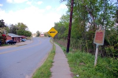
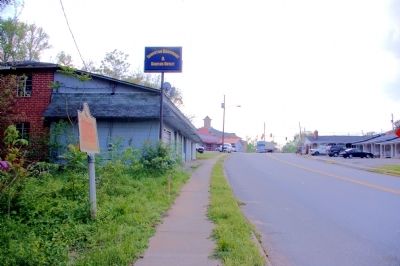
Location. 32° 48.69′ N, 83° 10.363′ W. Marker is in Irwinton, Georgia, in Wilkinson County. Marker is on East Main Street (Georgia Route 57) 0 miles east of Bacon Street, on the left. The marker is east of the courthouse, just east of an abandoned building, in Irwinton. Touch for map. Marker is in this post office area: Irwinton GA 31042, United States of America. Touch for directions.
Other nearby markers. At least 8 other markers are within 11 miles of this marker, measured as the crow flies. Wilkinson County (about 400 feet away, measured in a direct line); George Henry Carswell (about 400 feet away); McIntyre (approx. 2.4 miles away); Major John Hatcher (approx. 5.4 miles away); Robert Toombs (approx. 5˝ miles away); Toomsboro (approx. 5˝ miles away); Ramah Church (approx. 10.3 miles away); In Memory of J. Rufus Kelly (approx. 10.6 miles away). Touch for a list and map of all markers in Irwinton.

Photographed By David Seibert, April 1, 2011
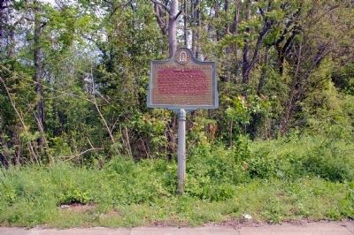
4. The March to the Sea Marker
Looking east on East Main Street (Georgia Highway 57) toward Toomsboro and the Oconee River beyond. The three pillars of the 1856 Union Church are just visible in the distance. The church was shared by the Baptists, Methodists and Presbyterians, thus the name.
Credits. This page was last revised on June 16, 2016. It was originally submitted on April 20, 2011, by David Seibert of Sandy Springs, Georgia. This page has been viewed 759 times since then and 20 times this year. Photos: 1, 2, 3, 4. submitted on April 20, 2011, by David Seibert of Sandy Springs, Georgia. • Craig Swain was the editor who published this page.


